
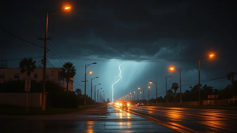
When the sky turns a menacing shade of green and the sirens begin to wail across Central Alabama, seconds become the most valuable currency you possess. On May 6, 2026, residents across Montgomery County faced this reality as the National Weather Service issued a urgent tornado watch, quickly escalating into a life-threatening tornado warning. During these high-stress moments, the difference between panic and preparedness often comes down to knowing exactly what these terms mean and having a predefined plan of action ready to execute.
As WSFA 12 weather updates tracked wind gusts exceeding 60 mph and dangerous hail, thousands of local families were forced to navigate the chaos of severe weather in real-time. Whether you are hunkering down in a storm shelter or securing your home against incoming gusts, clarity is your first line of defense. This guide cuts through the technical jargon to provide the actionable intelligence you need to stay safe when the next severe weather system targets our region.
Active Weather Update: May 6, 2026 Alabama Tornado Watch and Warning
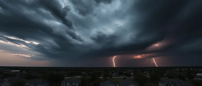
On May 6, 2026, central Alabama faced a significant severe weather threat that necessitated urgent public awareness and protective action. At approximately 2:39 p.m., the National Weather Service (NWS) issued a tornado watch encompassing Montgomery County and surrounding areas, remaining in effect until 11:00 p.m. local time. This atmospheric setup created favorable conditions for rotating storms, prompting residents to monitor local updates closely. As the meteorological situation evolved, the watch transitioned into a more immediate threat, leading to a tornado warning for parts of Montgomery County during the late afternoon and evening hours.
Escalation of Severe Weather Threats
Throughout the duration of this event, local news outlet WSFA 12 provided comprehensive, wall-to-wall coverage, serving as a vital lifeline for real-time storm tracking. Meteorological reports highlighted that the danger extended well beyond the risk of tornadoes. The fast-moving system brought a variety of hazardous conditions, including:
- Damaging wind gusts exceeding 60+ mph, capable of downing trees and power lines.
- Persistent flash flood warnings for low-lying and urban areas, complicating evacuation and safety efforts.
- Threats of hail accumulation, posing risks to vehicles and property.
The intensity of this event underscored the importance of distinguishing between a tornado watch vs warning. While the watch signaled that conditions were ripe for severe activity, the subsequent warnings triggered by the NWS necessitated immediate sheltering protocols. Residents relied heavily on WSFA and local meteorologists to navigate the chaos, proving the necessity of trusted, localized information during high-stress climate events. As the storm system moved across central Alabama, the proactive dissemination of Montgomery weather alerts proved essential in helping citizens prioritize safety throughout the night.
Understanding the Difference: Tornado Watch vs. Tornado Warning
During severe weather events in Central Alabama, confusion between alerts can be dangerous. When the National Weather Service (NWS) issues a tornado watch, it means atmospheric conditions are favorable for the development of tornadoes in and near the watch area. Think of a watch as a “heads up”—it is time to be prepared, stay weather-aware, and monitor local updates from trusted sources like WSFA for the latest tracking information. During a watch, you should review your emergency plan, ensure your mobile devices are charged, and know exactly where your safe room or interior basement is located. You do not necessarily need to hide yet, but you must remain vigilant.
In stark contrast, a tornado warning is an urgent call to action. A warning signifies that a tornado has been sighted by storm spotters or indicated by weather radar. When a warning is issued for your specific area, the threat is imminent, and you must take cover immediately. Do not wait to see a funnel cloud or hear a siren; by the time you see the storm, it may be too late to reach safety.
Essential Safety Protocols During Alerts
To ensure your family’s safety when Montgomery weather takes a turn for the worse, follow these established emergency guidelines:
- Tornado Watch (Be Prepared): Stay tuned to WSFA weather coverage, check your supplies, and keep your phone alerts turned on. Avoid non-essential travel.
- Tornado Warning (Take Action): Move to a small, windowless interior room on the lowest level of your home. If you are in a mobile home, evacuate immediately to a pre-identified sturdy shelter.
- Stay Informed: Rely on official alerts from the NWS and verified local meteorologists. Avoid social media rumors that can often create unnecessary panic during high-stress situations.
Understanding these distinctions is a life-saving skill. Whether it is a flash flood, damaging wind gusts, or a tornado threat, reacting appropriately to the specific alert level determines your safety outcome. Always prioritize real-time data over local speculation during active weather cycles.
Evergreen Emergency Protocols: How to Stay Safe During Severe Weather

When the National Weather Service issues a tornado watch or a tornado warning, seconds count. Understanding the distinction between these alerts is your first line of defense during severe weather. A watch means conditions are favorable for storms to develop, while a warning indicates that a tornado has been sighted or indicated by radar. During a watch, remain vigilant; when a warning is issued for your specific area, seek shelter immediately. For residents in Montgomery and beyond, staying informed through trusted outlets like WSFA is vital for real-time updates regarding flash flooding, hail, and wind threats.
Immediate Action Steps for Shelter
When a warning is triggered, move to a pre-designated “safe zone” within your home. If you do not have a basement, choose an interior room on the lowest floor, such as a closet, bathroom, or hallway, away from windows and exterior walls.
- Avoid Mobile Homes: If you reside in a mobile home, identify a sturdy building nearby where you can take shelter before the storm arrives. Never attempt to outrun a tornado in a vehicle.
- Protect Yourself: Cover your head and body with blankets, sleeping bags, or mattresses to protect against flying debris.
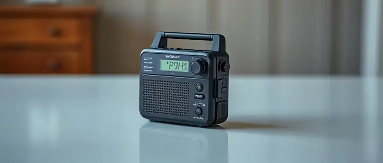
- Stay Informed: Keep mobile devices fully charged and set to receive Wireless Emergency Alerts (WEA). If the power grid fails, rely on a battery-operated NOAA weather radio to monitor Montgomery weather updates.
Staying Connected During Power Outages
Local meteorologists, including those providing coverage on WSFA weather channels, emphasize the importance of preparedness before the sirens sound. Keep a “go-bag” equipped with a flashlight, extra batteries, a first-aid kit, and a portable power bank. During an active event, avoid using high-bandwidth applications to ensure you can access critical updates. Follow official social media accounts from local weather authorities to track storm intensity, but prioritize taking cover over social media engagement. By establishing these protocols early, you reduce panic and ensure the safety of your household when central Alabama faces high-impact storm systems.
Reliable Resources for Real-Time Storm Tracking

During a severe weather event, access to verified, real-time data is critical for personal safety. When a tornado watch is issued for central Alabama, it is imperative to rely exclusively on official meteorological channels rather than unverified social media chatter or speculative commentary. The National Weather Service (NWS) serves as the primary source of truth, issuing official watches and warnings that dictate immediate safety protocols. For residents in Montgomery and the surrounding areas, monitoring WSFA weather updates through the WSFA 12 news platform provides the most reliable localized coverage, including live radar tracking and hyper-local alerts regarding hail, damaging winds, and flash flooding.
Essential Channels for Emergency Information
To ensure you receive life-saving updates without delay, prioritize the following resources:
- National Weather Service (NWS): Visit the official weather.gov website or listen to a NOAA Weather Radio for the latest alerts and meteorological shifts in your specific county.
- WSFA 12 News: Utilize WSFA digital platforms for wall-to-wall severe weather coverage. Their team provides necessary context on whether a storm system is intensifying, which is vital when navigating a tornado watch vs warning scenario.
- Local Meteorologist Updates: Follow verified social media accounts of trusted local meteorologists who provide real-time, ground-truth analysis during active storm cells.
Avoid relying on crowdsourced weather apps or social media threads, which can often spread misinformation or outdated data during high-stress situations. By sticking to these established, authoritative sources, you ensure that your decision-making process is based on the most accurate data available. Whether you are tracking a potential threat or preparing your emergency kit, these resources remain the gold standard for protecting your family during volatile weather patterns in the Montgomery region.
Build Your Fortress: Professional Structural Reinforcement
While staying informed through trusted sources like the NWS and WSFA is the essential first step in your safety protocol, the ultimate goal is to ensure your living space can withstand the raw power of nature. Far too many homeowners suffer preventable losses simply because their structures were not properly fortified against high-wind events. Understanding the threat is vital, but fortifying your environment provides the physical security that keeps your family safe when the storm hits.
This is where technical preparedness becomes a life-saving asset. Having access to precise, workshop-tested structural reinforcement plans allows you to move beyond basic maintenance and into professional-grade home hardening. By utilizing exact material lists and foolproof, professional diagrams, you can ensure that your home is not just a building, but a secure shelter engineered to resist extreme weather damage.
We have curated an elite resource that aligns perfectly with our emergency preparedness mission, providing you the DIY-focused utility to harden your property immediately. Don’t wait for the next siren to realize your home’s vulnerabilities. Take control of your property’s integrity today by utilizing the exact blueprints that make the difference between minor damage and total structural loss.
 Download these workshop-tested structural reinforcement plans now to ensure your home is built to withstand the next severe weather watch.Secure My Home Now!