
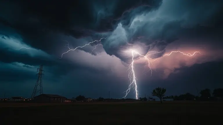
As the central United States grapples with a historically active spring, the relentless rhythm of severe weather—from the 49 recorded tornadoes in Oklahoma to the recurring ‘particularly dangerous situation’ (PDS) alerts—has become the new, unsettling baseline. While real-time radar tracking and local damage reports are critical for immediate survival, they often leave homeowners and renters with a lingering sense of vulnerability once the storm clouds clear. This isn’t just a series of isolated meteorological events; it is part of an increasingly volatile climate pattern that demands a shift in how we approach our living spaces.
True preparedness in 2026 requires moving beyond passive monitoring. It is about understanding the intersection of atmospheric data and structural resilience, transforming our homes from static shelters into hardened, defensive assets. By synthesizing the broader trends behind this season’s instability with practical, DIY mitigation strategies, we can move from a state of constant, reactive anxiety to one of proactive, structural readiness, ensuring your sanctuary is fortified long before the next siren sounds.
April 2026 Severe Weather Outbreak: A Status Report
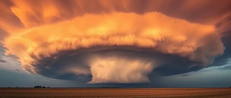
The central United States is currently experiencing a prolonged and volatile severe weather event that has intensified significantly throughout late April 2026. This multi-day atmospheric disturbance has triggered a series of life-threatening conditions, including long-track tornadoes, destructive high winds, large-diameter hail, and widespread flash flooding. Meteorological agencies have issued rare “Particularly Dangerous Situation” (PDS) watches across large swaths of the plains and the Midwest, signaling that the atmospheric setup is primed for extreme, high-impact events.
Regional Impacts and Escalating Activity
The current outbreak is affecting a wide corridor spanning from the southern plains to the mid-South. Key impacted states include:
- Texas: Reported fatalities in the northern region underscore the lethal potential of the ongoing tornado production.
- Oklahoma: The state is enduring a historically active season, having recorded 49 tornadoes so far in 2026—a figure marking the second-highest count for this period in the last five years.
- Missouri, Illinois, and Tennessee: These states remain under continuous observation as the storm systems track eastward, bringing compounding threats of wind damage and severe thunderstorm activity.
This period of instability represents more than just isolated meteorological incidents; it reflects a tightening of the climate patterns currently defining the 2026 spring season. The high frequency of tornadoes in Oklahoma, in particular, serves as a bellwether for the intensity of this current severe weather cycle. Emergency management agencies in these regions remain on high alert, utilizing local radar tracking and community-specific damage assessments to mitigate the risks to residents. As the situation remains fluid, citizens in these states are urged to maintain access to multiple emergency alerts, as the combination of rapid storm development and significant atmospheric instability continues to pose a persistent threat to public safety.
Safety First: Navigating Active Storm Watches and Warnings

When severe weather threats escalate across the central United States, understanding the nuance of meteorological alerts is the first step toward personal safety. A severe weather watch indicates that atmospheric conditions are favorable for the development of hazardous storms, including tornadoes, damaging winds, and flash flooding. It is a period for heightened awareness. Conversely, a severe weather warning is an urgent call to action, meaning that hazardous conditions are currently occurring or are imminent in your immediate area based on radar data or spotter reports. You must seek shelter immediately when a warning is issued for your specific jurisdiction.
Emergency Protocols for Tornadoes and Flooding
Effective preparedness requires moving beyond passive monitoring. If you live in an area prone to tornadoes, designate a reinforced “safe room”—typically an interior windowless room on the lowest floor, such as a basement, storm cellar, or bathroom. Ensure you are equipped with a weather radio that broadcasts real-time alerts even if cellular networks become congested or power grids fail.
- During a Tornado: Abandon mobile homes and vehicles immediately; do not attempt to outrun the storm. Seek a sturdy building. If you are outdoors, lie flat in a low-lying ditch or ravine and cover your head with your arms.
- During Flash Flooding: Observe the “Turn Around, Don’t Drown” mandate. Never attempt to drive through flooded roadways, as the depth of water is often deceptive and can sweep away vehicles with as little as 12 inches of current.
Accessing Reliable Real-Time Data
To stay informed during the current April 2026 outbreak, rely on verified information channels. Utilize the National Weather Service (NWS) website and your local emergency management agency’s social media feeds for the most granular radar tracking. Many residents now utilize interactive radar apps that allow for street-level storm path analysis. By bookmarking these official resources, you ensure that you receive life-saving updates the moment they are released, keeping you and your family ahead of rapidly shifting meteorological patterns.
The Science of the Storm: Why April 2026 Is Unusually Active

The meteorological intensity defining April 2026 is not merely a collection of isolated incidents; it is the result of a persistent and volatile atmospheric configuration. Meteorologists point to the development of an Omega block—a pattern where a high-pressure system becomes “stuck” between two low-pressure troughs, resembling the Greek letter Ω. This stationary setup acts as a massive roadblock in the atmosphere, preventing weather systems from moving eastward at their typical pace. Consequently, moisture-rich air from the Gulf of Mexico is being pumped continuously into the central United States, creating a relentless fuel source for severe weather.
Atmospheric Dynamics at Play
The current cycle of instability is being driven by several critical factors interacting over an extended period:
- Prolonged Moisture Advection: The Omega block forces sustained southerly flow, drawing anomalous amounts of tropical moisture northward. This high dew-point air provides the raw energy required for intense supercell development.
- Stalled Boundaries: Because the larger flow pattern is stagnant, surface boundaries—including cold fronts and drylines—are failing to push through the region. This leads to “training” storms, where multiple rounds of intense weather strike the same geographic areas repeatedly over several days.
- Shear and Instability: Strong vertical wind shear, combined with the atmospheric heating typical of late April, has created an environment highly favorable for long-track, destructive tornadoes, as evidenced by the 49 tornadoes already recorded in Oklahoma this year alone.
This specific configuration explains the multi-day severe weather events currently impacting the central U.S. Rather than a passing front that clears out within hours, these residents are facing an environment that regenerates storm potential daily. As this climate volatility continues, the repetitive nature of these events underscores the importance of monitoring long-range meteorological patterns rather than focusing solely on individual daily alerts.
Historical Perspective: Contextualizing Modern Meteorological Trends

The current severe weather outbreak across the central United States, particularly the concerning activity in Oklahoma, is not occurring in a vacuum. By analyzing data from the last three decades, meteorologists are observing shifts in both the frequency and geographic distribution of extreme atmospheric events. While individual storm systems are fueled by specific, short-term moisture and wind shear profiles, the persistent nature of the 2026 spring season suggests a broader pattern of climate volatility. Oklahoma’s record of 49 tornadoes in the first four months of the year serves as a critical indicator, representing the second-highest frequency for that period in half a decade and highlighting a deviation from historical norms.
Patterns in Longitudinal Storm Data
When comparing the spring of 2026 to historical averages, several trends emerge that explain the intensity of recent conditions:
- Increased Volatility: Evidence suggests that while the total annual number of tornadoes may fluctuate, the clustering of these events—often referred to as “tornado outbreaks”—is becoming more pronounced within the central U.S.
- Atmospheric Forcing: The presence of persistent, high-amplitude pressure patterns, such as the “Omega block,” has effectively stalled storm systems over regions like Texas and Tennessee, leading to prolonged exposure to severe wind, hail, and flood risks.
- Seasonal Shifting: Meteorological data indicates that the peak window for high-impact severe weather is evolving, often beginning earlier in the year and impacting regions with greater sustained intensity than observed in previous decades.
These trends underscore a move away from isolated weather anomalies toward a systemic climate pattern. By contextualizing these events through a long-term lens, residents and urban planners alike can better understand that the urgency of the April 2026 warnings is part of a larger, evolving meteorological reality. Recognizing these shifts is essential for moving beyond reactionary safety measures and toward a more proactive approach to regional resilience and infrastructure hardening.
Hardening Your Sanctuary Against Future Storms
The intensity of the 2026 storm season serves as a stark reminder that structural resilience is no longer an optional luxury; it is a fundamental aspect of modern safety. While you cannot control the volatility of the atmosphere, you can significantly alter your home’s capacity to withstand the forces it unleashes. True security is built in the quiet moments between events, by reinforcing the very structures that shield you and your loved ones from harm.
Transitioning from a consumer of storm alerts to a proactive architect of your own safety is the most impactful step you can take today. By utilizing professional-grade construction techniques, you can transform vulnerable entry points into secure barriers and elevate critical storage areas, mitigating damage from wind and flooding alike. This is where technical precision meets peace of mind, allowing you to execute structural fortifications that stand up to the most demanding conditions.
Access our comprehensive library of over 16,000 professional, step-by-step woodworking plans to build storm-resistant home improvements and secure storage solutions. By integrating these expert-verified blueprints into your home maintenance, you are not just building furniture or shelves—you are installing critical defense systems designed to preserve your property and provide genuine security when it matters most.
 Build your home’s defenses: Access our library of storm-hardening and structural reinforcement plans here.Secure My Home & Access Plans Now!