
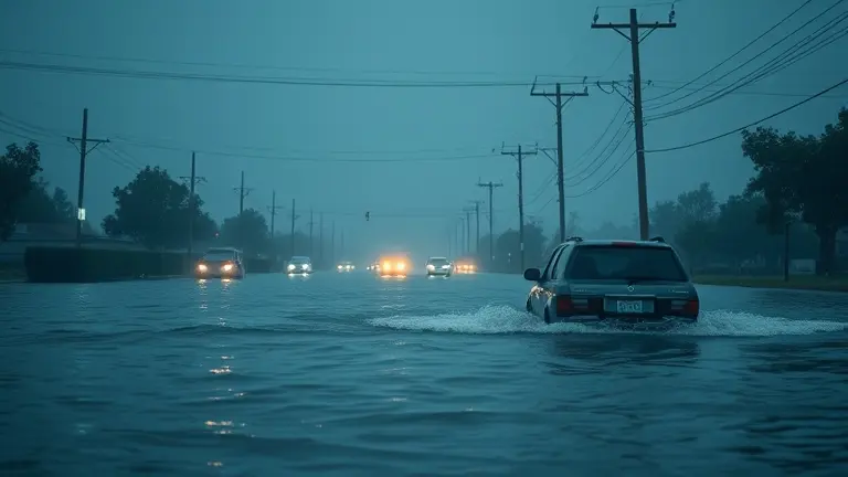
A fast-moving cold front is currently triggering life-threatening severe weather across the central and eastern United States. With an active flood warning in effect for areas including Tulsa and surrounding regions, the National Weather Service is urging residents to take immediate action as flash flooding turns local roads into hazardous waterways. This severe weather event is not just a meteorological update; it is a critical alert for families and homeowners to prioritize safety as heavy, persistent rainfall overwhelms regional infrastructure.
In high-stress, on-the-go scenarios, finding centralized, reliable information is often the difference between safety and risk. As you navigate these alerts, remember the golden rule of flood safety: Turn Around, Don’t Drown. Never attempt to drive through flooded roadways, regardless of how shallow the water may appear. Beyond personal safety, these events serve as a sobering reminder of the need to harden our homes against increasing climate-related hazards, ensuring that our properties are structurally equipped to handle the unexpected.
Active Flash Flood Warnings: June 22, 2026
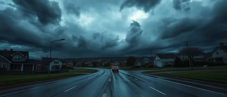
As of June 22, 2026, a widespread and high-stakes severe weather event is currently unfolding across large swaths of the central and eastern United States. A potent, fast-moving cold front is interacting with high atmospheric instability, triggering a series of intense thunderstorms and heavy precipitation events. The National Weather Service (NWS) has responded by issuing multiple active Flash Flood Warnings for communities in the path of these systems. Of particular concern are regions including Tulsa, where local authorities have reported rapid accumulation of water in low-lying areas and dangerous street flooding. Residents in these impact zones must treat the situation as an evolving emergency, as conditions can deteriorate with little to no notice.
Critical Safety Protocols and Impacted Regions
The current meteorological environment is characterized by high rainfall rates that threaten to overwhelm local drainage infrastructure, leading to rapid surface water accumulation. Whether you are navigating urban centers or rural roadways, the risk of hydroplaning and sudden road closures is significant. Evidence suggests that the storm trajectory is moving quickly toward the Northeast corridor, keeping emergency services in a state of high alert. To ensure your personal safety during this period, keep the following measures in mind:
- Turn Around, Don’t Drown: Never attempt to drive through flooded roadways. Just six inches of fast-moving water can knock an adult off their feet, and twelve inches can float many vehicles.
- Monitor Official Feeds: Continuously refresh local NWS local office broadcasts or weather radio for the most current polygon-based alerts specific to your zip code.
- Seek High Ground: If you live in a flood-prone area, move to higher floors immediately if water begins to encroach upon your property.
- Avoid Travel: Unless absolutely necessary, stay off the roads to keep routes clear for emergency responders and utility crews managing downed power lines and debris.
This is a live, high-urgency situation. Stay vigilant, rely on official government sources for real-time updates, and prioritize your safety by avoiding areas where flood warning status has been confirmed by local authorities.
Interactive NWS Flood Tracking Map

To monitor the current severe weather event impacting the central and eastern United States, utilize the interactive National Weather Service (NWS) flood tracking tool provided above. This real-time interface aggregates live data streams to identify high-risk zones, including active Flash Flood Warnings currently affecting regions from Tulsa to the Northeast corridor. By entering your specific zip code or city into the NWS portal, you can view hyper-local precipitation intensity, projected river gauge heights, and specific polygon alerts issued by your local NWS weather forecast office. Understanding these geographic boundaries is critical, as severe thunderstorms triggered by the fast-moving cold front can cause rapid water level increases in low-lying areas.
How to Use Real-Time Flood Data for Safety
When a flood warning is active in your area, time is the most significant factor in maintaining safety. Use the mapping tools to verify if your primary commute or emergency evacuation route is intersected by identified flood zones. If the interactive map indicates high water levels or an active flash flood trajectory, avoid those paths immediately. Key features to monitor within the NWS dashboard include:
- Active Alert Polygons: Shaded regions indicating where immediate life-safety threats exist.
- Precipitation Intensity Gauges: Visualized rainfall rates that help determine the likelihood of rapid runoff or urban drainage failure.
- River/Stream Stages: Real-time data points showing how close local water bodies are to flood stage.
If you are located in a region currently under a weather advisory, do not rely on static reports. Ensure you are navigating to the official NWS page associated with your immediate location for the most granular updates regarding bridge closures and evacuation orders. Remember the “Turn Around, Don’t Drown” protocol: never attempt to drive through flooded roadways, as the depth of water can be deceptive and the structural integrity of the road beneath may be compromised. Consistent monitoring of these live feeds is your most reliable method for making informed, safety-first decisions during this high-urgency weather event.
Immediate Safety Protocols: Turn Around, Don’t Drown
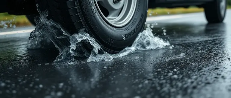
When a flood warning is issued for your area, the most critical decision you can make is to stay off the roads. The National Weather Service (NWS) mantra, “Turn Around, Don’t Drown,” is a life-saving principle designed to prevent vehicle-related fatalities during flash flooding. Even if a road appears passable, the structural integrity of the pavement beneath may be compromised, or the water may be deeper and faster-moving than it appears. It takes only six inches of fast-moving water to sweep an adult off their feet, and as little as 12 inches of rushing water can carry away a small vehicle, while two feet of water can displace most SUVs and trucks.
Critical Safety Actions for Motorists and Pedestrians
- Never Drive Through Flooded Roadways: If you encounter a flooded road, turn around and find an alternative route. Depth perception is notoriously unreliable at night or during heavy rain; you cannot accurately gauge the danger from your driver’s seat.
- Avoid Low-Lying Areas: If you live in a flood-prone zone, move to higher ground immediately if advised by local officials. Do not attempt to walk through floodwaters, as they may contain hidden debris, downed electrical lines, or hazardous pollutants.
- Monitor Official Sources: Keep a battery-powered radio or a mobile device tuned to local NWS alerts. Do not rely on visual cues alone, as flash flooding can occur with little to no warning, especially in urban settings where concrete prevents drainage.
- Respect Road Closures: Barriers are placed by emergency responders for your protection. Ignoring these signals is a primary cause of rescue-related incidents that put first responders at unnecessary risk.
If your vehicle becomes trapped in rising water, stay calm but act quickly. If the water is rising rapidly, abandon the vehicle immediately and move to higher ground. Your life is significantly more valuable than your property. By prioritizing these safety protocols, you drastically reduce your exposure to the severe risks associated with today’s active weather systems.
Emergency Preparedness and Infrastructure Alerts
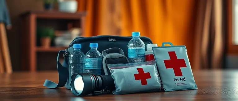
When a flood warning is issued for your area, the window for effective action is often limited. Emergency management officials emphasize that during these high-stakes weather events, your primary goal is to protect life over property. If you are in a flood-prone zone, do not wait for the water to rise before taking action. If advised to evacuate, leave immediately; heeding local government orders is not only essential for your personal safety but also serves to reduce the strain on local infrastructure and emergency services that are often stretched thin during severe weather.
Critical Safety Protocols During Flooding
If a flood emergency occurs, prioritize the following actions to minimize risk:
- Move to Higher Ground: Avoid basements and low-lying areas. Seek shelter on the highest floor of a sturdy building if you cannot evacuate to a safe, elevated location.
- Avoid Floodwaters: Adhere to the “Turn Around, Don’t Drown” protocol. Just six inches of fast-moving water can knock over an adult, and two feet of water can sweep away most passenger vehicles.
- Manage Utilities: If instructed by authorities or if water is rising inside your home, turn off main electricity breakers to prevent electrocution. Never touch electrical equipment if you are wet or standing in water.
- Secure Valuables: Elevate essential documents, medications, and emergency kits to the highest point in your home to keep them accessible and dry.
Infrastructure and Communication
Infrastructure integrity is severely compromised during rapid-onset flash floods. Expect localized power outages and potentially impassable roadways. Keep a battery-powered or hand-crank radio tuned to local NWS alerts to stay informed as conditions evolve. By staying off the roads, you allow first responders and utility crews to reach critical areas, ensuring that the response efforts remain efficient during this climate-stressed event. If your communication lines go down, rely on pre-established family emergency plans to account for all members of your household.
Secure Your Home Before the Next Surge
Staying informed with real-time flood warnings is your first line of defense, but true safety comes from proactive preparation. When severe weather strikes, the difference between minor inconvenience and catastrophic property loss often comes down to the structural integrity and resilience of your home.
While official alerts tell you when to seek higher ground, being prepared before the next weather event means having the right structural defenses in place. This is where professional-grade planning becomes essential. By utilizing the right tools, you can move from passive monitoring to active protection, building custom reinforcements that secure your property against water ingress and high-impact wind.
We highly recommend accessing the Ted’s Woodworking library, which provides over 16,000 professional blueprints. These plans empower you to build everything from storm-ready reinforcements and elevated storage to custom barriers, allowing you to take immediate control of your home’s physical environment and minimize long-term vulnerability.
 Download the comprehensive workshop blueprints now to build your own custom storm-ready reinforcements today.Yes, I Want To Protect My Home Now!