
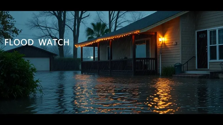
When the National Weather Service issues a flood watch, the immediate reaction is often one of uncertainty: is my neighborhood truly at risk, or is this just a standard precaution? With 2026 recording a record-breaking storm season across the Plains and Midwest, knowing how to interpret these alerts is no longer just a technical exercise—it is an essential survival skill. A ‘watch’ means conditions are ripe for severe flooding, not that it is happening yet. However, this is precisely when the window for meaningful, life-saving preparation begins to narrow.
Many homeowners feel paralyzed by the gap between the agency’s urgent technical alerts and the visible conditions outside their window. This cognitive disconnect can lead to hesitation exactly when action is most critical. True preparedness isn’t about waiting for an inevitable crisis; it is about replacing passive anxiety with actionable, structural integrity. By understanding the real-world utility of these alerts and proactively reinforcing your home’s defenses, you shift your role from a concerned observer to an empowered protector of your property.
Current Flood Watch Status: Understanding the June 2026 Severe Weather Pattern
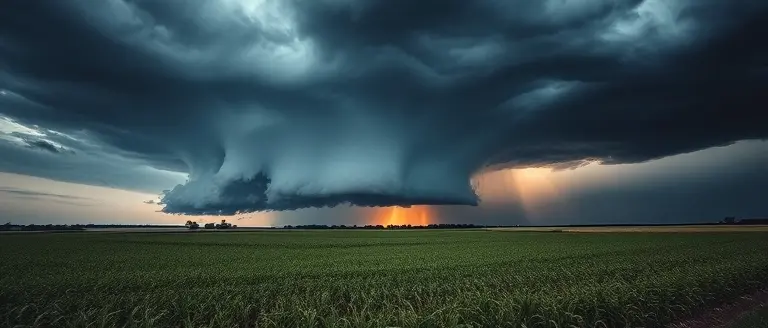
As of June 22, 2026, the United States is experiencing an unusually volatile weather pattern across the Plains and Midwest. This atmospheric instability is driven by a series of successive, high-moisture thunderstorm cells that are training—or repeatedly moving—over the same geographic locations. This phenomenon is particularly acute in regions spanning Arkansas and Illinois, where soil saturation levels are nearing maximum capacity, significantly increasing the potential for rapid flash flooding.
Why Conditions Are So Volatile
The current flood watch designations are not arbitrary; they are a direct response to a hyper-active, record-breaking season. Illinois has already surpassed a staggering 147 tornadoes in 2026 alone, a metric that underscores the sheer intensity of the storm systems currently moving through the central U.S. These systems are characterized by:
- High Precipitation Rates: Intense convective storms capable of dropping several inches of rain in a very short window.
- Persistent Thunderstorm Cells: Successive storms tracking along the same corridors, preventing drainage systems from recovering between events.
- Damaging Wind Profiles: High-velocity winds that compound the threat by causing debris to clog local storm drains and culverts.
Accessing Real-Time Safety Information
It is common for residents to feel confusion when a flood watch is issued while local skies appear temporarily calm. Meteorologically, a “watch” indicates that the ingredients for flooding—such as unstable air masses and saturated ground—are present and poised to interact. Unlike a “warning,” which implies active flooding, a watch is your window to prepare. To verify the risk level for your specific area, you must consult the National Weather Service (weather.gov) or your local NWS office. Always prioritize official, zip-code-specific alerts over general regional news to ensure you have the most accurate situational awareness during this severe weather period.
Decoding Weather Alerts: Watch vs. Warning

Understanding the distinction between a flood watch and a flood warning is essential for effective disaster preparedness, especially during the volatile weather patterns currently impacting the Plains and Midwest. When the National Weather Service (NWS) issues an alert, they are communicating specific levels of risk based on atmospheric data. A Flood Watch indicates that conditions are favorable for flooding to occur. It does not mean flooding is guaranteed, but the ground is saturated or the incoming weather system has the potential to produce enough precipitation to overwhelm local drainage systems. Think of a watch as a “heads-up” to stay informed and prepare your emergency kit.
In contrast, a Flood Warning signifies a much higher level of urgency. This alert is issued when flooding is either already occurring or is imminent in the specified area. When a warning is active, you must take immediate action to protect your property and personal safety, as the threat to life and infrastructure is real and ongoing.
Critical Alert Definitions
To help you gauge the severity of your local situation, use this hierarchy of weather terminology:
- Flood Watch: Conditions are favorable for flooding. Keep an eye on local news and be ready to move to higher ground if the situation deteriorates.
- Flood Warning: Flooding is happening or will happen soon. Follow evacuation orders if given and avoid travel through flooded areas.
- Flash Flood Warning: This is the most urgent alert. It denotes a rapid, intense flood event—often triggered by thunderstorms—that can occur within minutes to hours. These events are highly dangerous, as they can sweep away vehicles and cause structural collapse.
The confusion often felt by residents, particularly when rainfall seems sparse during an active watch, stems from the NWS’s mandate to issue warnings based on cumulative risk models rather than current observations alone. Because events like the record-breaking 2026 tornado season in Illinois have shown how quickly conditions can shift, meteorologists prioritize early caution to ensure public readiness. When a watch is active, rely on official NWS updates rather than immediate visual observation to determine your risk level.
Immediate Safety Protocols: What to Do During a Flood
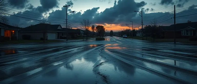
When your region is placed under a flood watch or warning, taking immediate, decisive action can mean the difference between safety and an emergency. The most critical rule in any flooding event is the “Turn Around, Don’t Drown” principle. Most flood-related fatalities occur in vehicles, as even six inches of fast-moving water can sweep away a passenger car or cause a driver to lose control. If you encounter water-covered roadways, never attempt to drive through them; the depth and structural integrity of the road underneath are impossible to judge from behind the wheel. Instead, seek an alternate, higher-elevation route immediately.
Essential Steps for Flood Readiness
To protect your household during active weather systems, prioritize the following safety measures:
- Move to Higher Ground: If you live in a low-lying area or a designated flood zone, move to the highest floor of your home or seek higher ground immediately if advised by local officials.
- Monitor Official Sources: Rely exclusively on the National Weather Service (NWS) and local emergency management channels. Keep a battery-operated or hand-crank NOAA Weather Radio nearby to receive updates even if local power or internet services fail.
- Avoid Floodwaters: Floodwater is often contaminated with debris, sewage, and chemicals. Never walk or swim through standing water, as hidden hazards like downed power lines or displaced heavy objects can cause severe injury.
- Prepare an Emergency Kit: Keep a “go-bag” accessible, containing essential documents, non-perishable food, potable water, flashlights, and a first-aid kit.
By maintaining situational awareness and strictly adhering to NWS guidance, you minimize the risks associated with the intense storms currently impacting the Plains and Midwest. Remember, a flood watch means that conditions are favorable for flooding, so treat it as a formal notification to prepare your evacuation plan and stay vigilant.
Preparedness Resources: How to Stay Updated Near You

In an era of volatile weather patterns, particularly with the severe storm systems currently impacting the Plains and Midwest, accessing reliable, real-time data is critical for your safety. When a flood watch is issued for your area, relying on unofficial social media speculation can lead to confusion. Instead, prioritize verified government sources that provide the most accurate meteorological assessments. The primary source for all emergency weather data is the National Weather Service (NWS). By visiting weather.gov and entering your zip code, you can access the most current Hazardous Weather Outlooks (HWO) and localized radar feeds that clarify why your specific region is under a watch.
Essential Tools for Real-Time Alerts
To ensure you never miss a critical update, leverage modern technology to push information directly to your devices:
- Wireless Emergency Alerts (WEA): Check your smartphone’s notification settings to confirm that “Emergency Alerts” or “Government Alerts” are enabled. These alerts are location-based and will trigger even if you are traveling, providing instant notification when a flood watch or warning is upgraded.
- NOAA Weather Radio: Consider keeping a dedicated battery-operated NOAA weather radio in your home. These devices provide a fail-safe communication link, operating independently of cellular networks or internet connectivity, which may become unstable during extreme thunderstorms or tornadoes.
- Local Emergency Management Portals: Most counties now offer opt-in text or email alert systems. Registering with your local city or county emergency management agency ensures you receive hyper-local guidance, such as road closures or evacuation routes, that national platforms might not include.
By integrating these resources into your emergency plan, you transition from reactive uncertainty to proactive readiness. Always distinguish between a flood watch, which indicates that conditions are favorable for flooding, and a flood warning, which dictates that life-threatening impacts are imminent. Utilizing these official channels ensures that your decisions are based on data rather than hearsay.
Take Control Before the Water Rises
Understanding the difference between a flood watch and a warning is your first line of defense, but knowledge alone won’t stop water from entering your home. True resilience comes from proactive preparation. When weather agencies issue an alert, the window of opportunity to fortify your property closes quickly, leaving those who relied on luck exposed to the rising tide.
Instead of watching the radar with anxiety, empower yourself to build a stronger, more resistant home today. Ted’s Woodworking offers the technical roadmap you need to construct reliable flood defenses, storage solutions, and structural reinforcements that professional contractors charge thousands to install. By mastering these DIY techniques, you transition from a passive victim of the weather to a capable defender of your most valuable asset.
Don’t wait for the next siren to start thinking about structural integrity. With our comprehensive library, you gain the confidence to build smart, durable, and lifesaving home modifications. Access the blueprints that give you professional-grade results with straightforward, step-by-step guidance. Secure your peace of mind and protect your future, one project at a time.
 Build your home’s defenses today: Access 16,000+ expert-verified plans to fortify your property before the next storm hits.Yes, I Want This Now!