
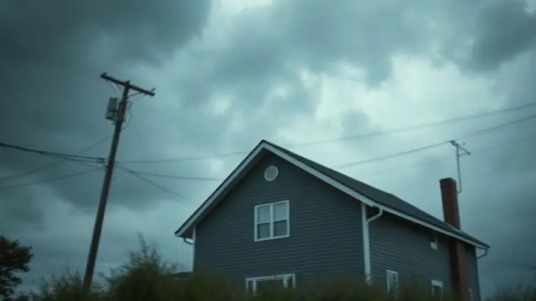
When the National Weather Service issues a wind advisory, it is rarely just about a breeze. Across the Midwest and beyond, residents are increasingly familiar with the sudden onset of 40 to 50 MPH gusts that precede major weather events. While most people view these alerts as simple warnings to stay indoors, they are actually signs of significant atmospheric shifts. These gusts often occur due to a tightening pressure gradient—the physical force that develops ahead of a potent thunderstorm—creating a high-pressure environment that can turn everyday patio furniture into hazardous projectiles.
Understanding the difference between an advisory, a watch, and a warning is the first step in safety, but passive monitoring is no longer enough to protect your property. As seasonal climate volatility becomes the new normal, shifting your focus from reactive behavior to proactive infrastructure hardening is essential. By taking charge of your outdoor environment today, you ensure that when the next alert sounds, your home is already fortified against the pressure of the elements.
Understanding the June 2026 Wind Advisory Surge

The mid-June 2026 weather pattern triggered a massive wave of public concern, resulting in a widespread surge of interest regarding the wind advisory across the United States. Between June 16 and June 17, 2026, the National Weather Service (NWS) issued multiple alerts across the Midwest, specifically impacting Missouri and Nebraska, as well as northern regions in Montana. These alerts were primarily driven by non-thunderstorm wind gusts reaching speeds of 40 to 50 MPH. Meteorologists emphasize that these conditions are distinct from severe convective activity, yet they present significant safety hazards, including downed tree limbs and power outages, which necessitated the proactive issuance of these government safety alerts.
The Mechanics Behind the Advisory
It is critical to distinguish between these high-wind events and the potential for a severe thunderstorm. The recent surge in alerts was caused by a tight pressure gradient across the plains, which generated sustained high winds independent of rain or lightning. However, NWS offices often issue these advisories as a precursor to evening instability. The transition from synoptic-scale wind events to localized storm systems creates a dual-threat environment that can catch residents off guard.
Key factors contributing to the regional impact included:
- Atmospheric Pressure Gradients: The primary driver of the 40–50 MPH gusts, creating hazardous surface conditions before any storm cells formed.
- Predictive Modeling: NWS forecasters identified these wind events as early indicators of atmospheric volatility that could eventually fuel severe evening thunderstorms.
- Safety Thresholds: Advisories are triggered when sustained winds or gusts meet specific criteria that threaten public safety, property integrity, and travel conditions.
By understanding that these wind alerts are often distinct, early-warning signals, residents can better prepare for the potential escalation of weather events throughout the day. Monitoring your specific NWS regional office remains the most reliable way to differentiate between current wind threats and incoming severe storm risks.
Weather Alert Tiers: Advisory vs. Watch vs. Warning

Understanding the hierarchy of National Weather Service (NWS) alerts is the first step toward effective severe weather preparedness. When meteorologists issue a wind advisory or other alerts, they are categorizing the threat based on timing, probability, and potential for property damage. Misinterpreting these tiers often leads to unnecessary panic or, conversely, a dangerous lack of preparation when a real threat emerges.
The Three Tiers of Alert
To demystify these reports, it is helpful to view them through the lens of urgency and certainty:
- Advisory: This indicates that weather conditions are expected to cause significant inconveniences or “nuisance” impacts. While not life-threatening if standard precautions are taken, an advisory suggests conditions could become hazardous if caution is not exercised. For instance, a wind advisory is typically issued when sustained winds reach 31-39 mph or gusts reach 46-57 mph.
- Watch: This means that the atmospheric ingredients for hazardous weather are present, but the exact location and timing are still uncertain. A thunderstorm watch implies you should remain vigilant and have a plan of action, as conditions are favorable for development, but the event is not yet occurring.
- Warning: This is the most critical level. A warning signifies that hazardous weather is currently occurring, is imminent, or has been detected via radar. Immediate protective action is required to ensure personal safety and the security of your property.
By distinguishing between these tiers, residents can better calibrate their response. An advisory allows time to secure loose outdoor furniture or adjust travel plans, whereas a warning demands immediate shelter seeking. Recognizing these nuances helps minimize public confusion during volatile weather periods, ensuring that safety alerts are treated with the appropriate level of urgency based on the localized forecast.
Actionable Safety: How to Prepare Your Home for High Winds
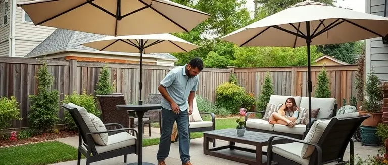
When the National Weather Service (NWS) issues a wind advisory, homeowners often have a narrow window of time to protect their property from structural damage. With gusts reaching 40 to 50 MPH—common during active weather patterns in the Midwest—even seemingly secure outdoor items can become dangerous projectiles. Proactive maintenance is the most effective strategy to mitigate risk before the wind intensifies or shifts into a more volatile thunderstorm.
Immediate Exterior Security
The primary objective during an advisory is to clear your yard of any debris that could be lifted by high winds. Follow this tactical checklist to secure your property:
- Patio Furniture: Move chairs, tables, and umbrellas into a garage or shed. If furniture is too heavy to move, tie it down securely to a stationary object.
- Planters and Decor: Bring lightweight pots, hanging baskets, and garden ornaments indoors. Wind gusts of 50 MPH are sufficient to tip over heavy ceramics, causing damage to home siding or windows.
- Trash and Recycling: Ensure all lids are locked or weighed down. Store empty bins inside until the advisory passes to prevent them from blowing into the street or neighboring yards.
- Tree Maintenance: Regularly monitor your property for dead or overhanging tree branches. While major trimming should be done by professionals, clearing smaller, brittle debris can prevent roof damage during a wind event.
Protecting Your Home’s Infrastructure
Beyond securing loose items, you must prepare the home itself for potential power outages and structural stress. High wind gusts can often down power lines long before a thunderstorm arrives, so ensure your emergency kit is stocked with flashlights, extra batteries, and portable chargers. Keep windows and doors tightly latched to maintain the integrity of your home’s exterior envelope; if a pressure imbalance occurs due to a broken window, the risk of structural damage increases significantly. By acting immediately when an advisory is posted, you significantly reduce the likelihood of costly repairs or safety hazards. Always monitor your local NWS office for updates on duration and severity.
Localized Preparedness: Staying Informed in Your Region

To effectively navigate a wind advisory, you must rely on hyper-local data rather than generalized national forecasts. Regional weather patterns—particularly across the Midwest and Montana—can shift rapidly, making the specific boundary lines defined by the National Weather Service (NWS) the most reliable source for your safety. National forecasts often aggregate broad conditions, but your local NWS office provides critical, county-specific intelligence that accounts for local topography and micro-climates. These offices track the movement of pressure gradients that lead to high-velocity winds, often hours before they interact with potential thunderstorm cells.
Accessing Official Regional Alerts
To stay ahead of severe weather, bookmark your local NWS office website. By visiting weather.gov and entering your zip code, you gain direct access to your local forecast office’s active alerts. Unlike news aggregators, these official government portals provide the raw, updated data that emergency managers use to make decisions. Consider the following steps to ensure you receive timely, actionable information:
- Bookmark Your Local Office: Locate your specific NWS office dashboard and check it during high-risk days to view the precise polygon map of the advisory area.
- Enable Wireless Emergency Alerts (WEA): Ensure your smartphone settings allow for “Emergency Alerts” and “Severe Weather Alerts.” These push notifications are geo-fenced to your specific location and bypass general network traffic.
- Utilize NOAA Weather Radio: For the most reliable uptime during power outages or internet disruptions, a battery-operated NOAA Weather Radio tuned to your local frequency remains the gold standard for receiving immediate alerts.
- Monitor County-Level Notifications: Many counties provide free opt-in SMS or email services. Registering your home and work zip codes ensures you receive non-thunderstorm gust updates as soon as they are issued for your specific municipality.
By focusing on these official channels, you transition from reactive observation to proactive safety, ensuring you have enough lead time to secure outdoor furniture and property against 45 to 50 MPH gusts before they reach your doorstep.
Build Resilience Before the Next Alert Strikes
Securing your property during a wind advisory requires more than temporary fixes like sandbags or flimsy bungee cords. To truly withstand the stress of recurring 50 MPH gusts, you need a long-term approach to infrastructure hardening. By moving beyond temporary measures and fortifying your outdoor structures, you effectively eliminate the risks associated with volatile weather systems before they ever reach your doorstep.
This is where precision matters. While standard hardware store solutions often fail under high-pressure conditions, constructing wind-resistant outdoor fixtures requires professional-grade design. Ted’s Woodworking provides exactly that: a comprehensive library of over 16,000 workshop-tested plans. Whether you are reinforcing a garden shed, building heavy-duty planters, or designing custom outdoor seating, these schematics ensure your projects are built for structural integrity, not just aesthetic appeal.
By utilizing these technical blueprints, you transform your home into a wind-resilient fortress, turning potential climate damage into an opportunity for high-quality home improvement. Don’t wait for the next weather alert to find out if your structures are up to the task—start building for strength today.
 Download the professional blueprint library today to start building wind-resistant upgrades for your home.Yes, I Want To Build Stronger Now!