
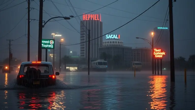
As of June 16, 2026, the atmospheric pressure is dropping across the northwestern Gulf of Mexico, where the National Hurricane Center is tracking Potential Tropical Cyclone One. With the system trending toward the Texas Gulf Coast, a tropical storm watch has become the primary focus for millions of residents in Houston and surrounding areas. Meteorologists anticipate this system could rapidly strengthen into Tropical Storm Arthur, bringing not only intense wind gusts but, more critically, the threat of persistent, heavy rainfall to regions already saturated by recent weather patterns.
While news outlets provide constant updates on the storm’s path, the immediate concern for homeowners is the vulnerability of their properties. Understanding the difference between a tropical cyclone and a full-blown storm is vital, but taking concrete, actionable steps to harden your home against flooding is what matters most right now. This guide cuts through the noise of live-blogging to provide you with the essential utility-based resources needed to assess your risks and protect your most valuable asset before the first bands of heavy rain make landfall.
Understanding Potential Tropical Cyclone One and the Tropical Storm Watch

As of June 16, 2026, the National Hurricane Center (NHC) has identified Potential Tropical Cyclone One churning in the northwestern Gulf of Mexico. This designation is used when a disturbance shows a high potential for development but has not yet met the strict criteria to be classified as a fully formed tropical cyclone. Meteorologists are tracking this system closely as it approaches the Texas Gulf Coast, with current data indicating a high probability that the system will strengthen into Tropical Storm Arthur, marking it as the first named event of the 2026 Atlantic Hurricane Season. While the wind speeds remain a factor, the primary threat identified by local experts and national forecasters is the potential for significant, persistent rainfall across the region.
What a Tropical Storm Watch Means for Houston
A tropical storm watch signifies that tropical-storm-force winds are possible within the specified area, typically within 48 hours. For residents monitoring a tropical storm in Houston or along the coast, this alert serves as a critical call to finalize emergency preparations. Unlike a warning, a watch is a signal to remain vigilant and ready to act. The NHC emphasizes that the hazards associated with this specific system extend well beyond wind:
- Localized Flooding: Saturated grounds from previous weather events increase the risk of rapid runoff and urban flooding.
- Transit Safety: Travelers should prepare for sudden changes in visibility and potential road closures due to water accumulation.
- System Development: Rapid intensification remains a concern for any tropical storm in gulf waters, making it essential to rely on official, real-time updates from the NHC and local news outlets.
Understanding these technical distinctions is vital for community safety. By keeping a close eye on the latest advisories, residents can transition from passive observation to active emergency management as the storm’s path clarifies.
Primary Threat: Heavy Rainfall and Flood Risks in Houston
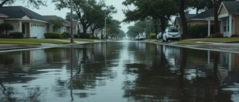
While a tropical storm watch often triggers anxiety regarding wind speeds, the most significant danger from the current system—Potential Tropical Cyclone One—is its capacity for extreme, persistent rainfall. Houston and the surrounding Texas Gulf Coast face a heightened risk of urban flooding, particularly because the soil in many regions remains saturated from previous weather events. Unlike systems characterized by high-velocity winds, this tropical cyclone is expected to be a slow-moving moisture producer, which increases the likelihood of prolonged deluge and subsequent flash flooding in low-lying areas.
Understanding Your Flood Risk and Safety
When a tropical storm in the Gulf threatens the region, the primary consumer concern shifts to transit safety and property protection. Urban infrastructure can quickly become overwhelmed when rainfall rates exceed drainage capacity. To stay safe and informed, residents should prioritize the following actions:
- Monitor Real-Time Gauges: Utilize local government flood monitoring sites to track water levels in your specific neighborhood. If a bayou or local drainage channel shows rising levels, be prepared to move to higher ground immediately.
- Avoid Flooded Roadways: The mantra “Turn Around, Don’t Drown” remains the most critical safety directive during any tropical storm Houston event. As little as six inches of moving water can stall a vehicle, while two feet can sweep most cars away.
- Respect Barricades: Never attempt to drive through standing water or around road closures. These barriers are placed by emergency services for your protection, as road damage or deep water may be hidden beneath the surface.
As meteorologists monitor this system for its transition into Tropical Storm Arthur, the intensity of rainfall remains the primary metric for danger. Because urban Houston is highly paved, runoff moves rapidly, making flash flooding an unpredictable and life-threatening hazard. Always prioritize professional advisories from the National Hurricane Center and local Houston emergency management over social media speculation to ensure you have the most accurate data for your safety.
Essential Emergency Resources for Texas Residents
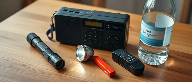
As the Texas Gulf Coast braces for the potential development of Tropical Storm Arthur, residents must prioritize immediate access to verified safety information. With a tropical storm watch in effect, officials emphasize that heavy rainfall remains the most significant threat to the region. Preparing before the weather intensifies is critical to ensuring your household’s safety during this tropical cyclone event.
Critical Emergency Communication Channels
To stay informed during the current weather event, it is imperative to utilize official municipal channels. Relying on verified updates prevents the spread of misinformation during an emergency.
- ReadyHarris Alerts: Sign up for the official ReadyHarris emergency alert system. This service provides real-time notifications regarding severe weather, evacuation orders, and flash flood warnings tailored to your specific address.
- Harris County Flood Control District: Monitor the Harris County Flood Control District website to track local bayou levels and rainfall totals. Their interactive map is the primary tool for Houston residents to assess localized flooding in their immediate neighborhoods.
- CenterPoint Energy: In the event of power disruptions, residents should report outages immediately via the CenterPoint Energy portal or by calling their emergency line. Do not assume your neighbor has already reported the outage.
- National Hurricane Center (NHC): Always track the official trajectory and intensity of Potential Tropical Cyclone One through the NHC website to receive the most accurate data regarding the storm’s path in the Gulf of Mexico.
Neighborhood Safety Protocols
Beyond digital alerts, residents should have a physical plan in place. If you encounter flooded roadways, remember the mantra: “Turn Around, Don’t Drown.” Never attempt to drive through high water, as the depth is often deceptive and current velocity can sweep vehicles away. Ensure your emergency supply kit includes at least three days of food, water, and essential medications, as localized flooding can restrict transit access for emergency response teams. By utilizing these resources and maintaining situational awareness, you can better protect your property and family during this unfolding weather event.
How to Report Flooding and Stay Updated Safely

During a tropical storm watch, rapid communication is essential for public safety, especially as a tropical cyclone develops in the Gulf of Mexico. When street-level flooding occurs in Houston, accurate reporting helps emergency services allocate resources to the most critical areas. Residents should prioritize using official municipal channels over anecdotal reports on social media, which often contain outdated or unverified information. If you encounter impassable roads or rising water near your home, report it through the city’s 311 service portal or the official Houston emergency management website. Documenting the location, depth of water, and time of observation allows responders to map flood-prone zones effectively.
Reliable Resources for Real-Time Updates
To avoid misinformation during the potential arrival of Tropical Storm Arthur, rely exclusively on verified authorities. The National Hurricane Center (NHC) provides the most accurate tracking data, while local news outlets such as KHOU and the Houston Chronicle maintain live blogs to assist residents. Do not rely on speculative social media posts regarding storm paths; instead, check these resources for actionable guidance:
- NHC Advisories: Monitor the official NHC website for updates on “Potential Tropical Cyclone One” and its potential for rapid intensification.
- Emergency Alerts: Ensure your mobile device is registered for local wireless emergency alerts (WEA) to receive immediate evacuation or shelter-in-place orders.
- Official Social Media: Follow verified accounts like the National Weather Service (NWS) Houston/Galveston office on X (formerly Twitter) for hyper-local impact reports.
- Flood Maps: Use the Harris County Flood Warning System to monitor real-time sensor data on bayou and creek levels, which often provide better insight than general weather apps.
By staying tuned to these professional sources, you minimize the risk of reacting to “noise” and ensure your family remains safe during this tropical storm in gulf event. Remember: when in doubt, stay off the roads and wait for official updates before attempting to travel through flooded areas.
Hardening Your Home Against the Rising Tide
As the weather shifts, the difference between minor water seepage and significant structural damage often comes down to proactive home reinforcement. While you monitor the latest advisories, focusing on defensive home improvements is the most effective way to regain a sense of control over the unpredictable elements.
This is where precision engineering meets home security. Having access to professional-grade blueprints allows you to construct custom flood barriers, elevate sensitive home equipment, and build robust structures that withstand rising waters. By investing in proven, workshop-tested designs, you aren’t just reading about safety; you are physically transforming your home into a hardened fortress against the persistent rainfall typical of a tropical storm in the Gulf.
We have curated a library of technical plans specifically designed to help you build the structural defenses your property desperately needs. Don’t leave your home’s integrity to chance—take the proactive steps necessary to shield your belongings today.
 Download our curated library of professional workshop-tested plans to build your home’s flood defenses today.Secure My Home with Professional Plans Now!