
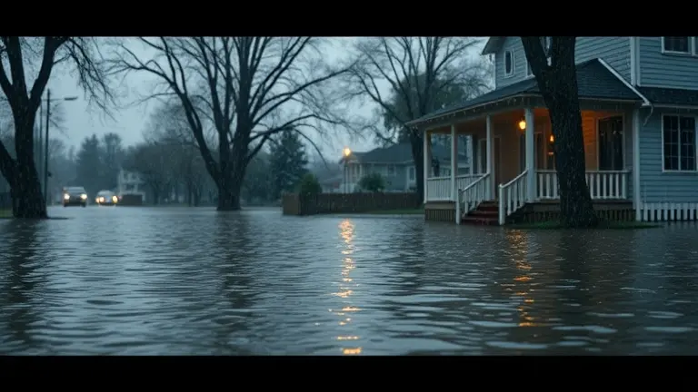
When the National Weather Service issues a flood watch, the immediate reaction is often a mixture of anxiety and uncertainty. For communities from the Hudson Valley to Illinois, these alerts serve as a stark reminder of the volatile nature of our climate. However, waiting for news reports to provide instructions is a reactive cycle that often leaves homeowners vulnerable when seconds count. Understanding the critical distinction between a watch—meaning conditions are favorable for flooding—and a warning—meaning flooding is imminent or occurring—is the cornerstone of personal and property safety.
Beyond the alerts, there is an urgent need to shift our mindset from passive monitoring to proactive home resilience. Recent tragedies underscore the reality that flash floods leave little room for error, making pre-storm preparation essential. By analyzing your property’s unique topography and vulnerabilities, you can move beyond simple evacuation plans to structural defense, ensuring that your home is prepared to withstand the force of rising waters long before the sirens sound.
Understanding Current Flood Risks: Where Alerts Are Active Today

As of July 5, 2026, the United States is facing a volatile period of severe weather, necessitating heightened public vigilance. The National Weather Service (NWS) has officially issued a flood watch for several critical regions, including Ulster and Dutchess counties in the Hudson Valley and specific zones across Illinois. Meteorologists attribute these alerts to persistent, heavy rainfall and the lingering threat of severe thunderstorms that have the potential to overwhelm local drainage systems and trigger rapid water accumulation. Residents in these areas are urged to monitor local NWS broadcasts, as these conditions can escalate from a watch to an active emergency with little notice.
The Urgency of Preparedness in 2026
This current weather pattern brings the necessity of safety to the forefront, especially in light of recent climate-related tragedies. The tragic passing of a mother in Grainger County, Tennessee, who was swept away by flash floodwaters, serves as a sobering reminder that moving water is deceptively powerful. Furthermore, as the nation reflects on the one-year anniversary of the devastating July 2025 Texas floods, these current alerts underscore a recurring pattern of vulnerability. To ensure your safety during this high-risk period, consider the following critical protocols:
- Heed Official Guidance: A flood watch means the conditions are favorable for flooding; a flood warning indicates that flooding is imminent or already occurring.
- Avoid High-Risk Areas: Never attempt to drive or walk through flooded roadways. Adhere strictly to the “Turn Around Don’t Drown” mantra, as even six inches of fast-moving water can knock an adult off their feet.
- Monitor Local Data: Utilize real-time NWS data feeds and local news resources to track weather movement specifically for your zip code.
By staying informed and respecting the power of flash flooding, residents can significantly reduce their risk of injury. Whether you are in the Hudson Valley or the Midwest, vigilance is your most effective tool for navigating these active, localized weather systems safely.
Flood Watch vs. Flash Flood Warning: Know the Difference

Understanding the specific terminology used by the National Weather Service (NWS) is the first line of defense in severe weather situations. A flood watch is issued when meteorological conditions are favorable for flooding to occur. It does not mean that flooding is guaranteed, but rather that the potential exists due to heavy, persistent rainfall or saturated soil conditions—a scenario currently impacting regions like the Hudson Valley and parts of Illinois. During a watch, the environment is primed, and you should remain vigilant.
Taking Action: Watch vs. Warning
While a flood watch signals that you should monitor local news, stay informed, and prepare your household for potential disruptions, a flash flood warning denotes an immediate, life-threatening emergency. A warning is issued when flooding is either occurring, imminent, or has been reported by radar or observers. When a warning is active, you must abandon the “wait and see” approach and take decisive action immediately.
To stay safe during these events, follow these critical protocols:
- During a Flood Watch: Review your emergency supply kit, ensure your mobile devices are charged, and identify the highest ground in your vicinity. Clean your gutters and move valuable items to higher levels if you are in a known flood-prone zone.
- During a Flash Flood Warning: If you are in an area susceptible to flooding, move to higher ground immediately. Never attempt to drive through flooded roadways; the “Turn Around Don’t Drown” mantra is a vital, life-saving rule. As seen in tragic recent events, moving water can be far more powerful and deceptive than it appears, capable of sweeping away vehicles and pedestrians in seconds.
By distinguishing between these two alert levels, you transition from being a passive consumer of weather updates to an active participant in your own safety. Always prioritize evacuation orders from local authorities over personal convenience, as flash floods are often the most unpredictable and dangerous weather phenomena.
Flash Flood Safety: Essential Protocols for Every Household
When a flood watch is issued, your immediate priority must shift toward proactive safety and situational awareness. Flash floods are the most dangerous type of weather-related hazard in the United States, often occurring with little to no warning. To protect your household, you must internalize the “Turn Around, Don’t Drown” principle: never attempt to drive or walk through flooded roadways. Even six inches of fast-moving water can knock an adult off their feet, and just twelve inches of water can displace many vehicles. If you encounter a flooded path, treat it as an impassable barrier and seek an alternative, higher-elevation route immediately.
Developing Your High-Ground Strategy
Every family residing in a flood-prone region, such as those currently affected in the Hudson Valley or Illinois, must establish a formal evacuation plan. Identify the highest ground accessible within a short driving distance and ensure every family member knows the primary and secondary routes to reach it. During severe weather, keep your communication lines open but avoid unnecessary strain on cellular networks. Establish a pre-determined meeting point and an out-of-area contact person to relay safety status if local service is disrupted.
Emergency Preparedness Checklist
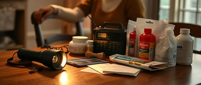
To remain resilient during severe weather events, your household should maintain a specialized “go-bag” accessible at all times. Essential items include:
- Documentation: Waterproof copies of insurance policies, identification, and medical records.
- Communication: A battery-powered or hand-crank NOAA Weather Radio to receive updates even during power outages.
- Sanitation and Hydration: At least one gallon of water per person per day for three days and basic hygiene supplies.
- Power: Portable chargers for mobile devices and extra batteries for flashlights.
- First Aid: A comprehensive medical kit tailored to your family’s specific needs.
By transitioning from passive monitoring to active preparedness, you drastically reduce the risks associated with sudden weather shifts. Remember that emergency alerts are issued to provide you with a window of opportunity; using that time to secure your property and establish an evacuation plan is your best defense against the unpredictable nature of flash flooding.
Real-Time NWS Data: Tracking Your Local Conditions
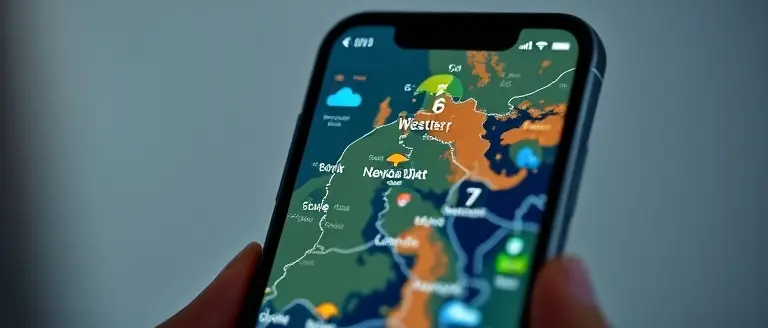
To effectively navigate severe weather, residents must rely on authoritative, real-time data from the National Weather Service (NWS). Relying on social media hearsay during a flood watch can be dangerous; instead, prioritize direct information channels that provide hyper-local updates. The NWS website (weather.gov) remains the gold standard for tracking active alerts. By entering your zip code, you gain immediate access to radar imagery, hourly forecasts, and official bulletins that detail the severity of incoming systems. Understanding these digital tools allows you to observe the movement of heavy rainfall cells, helping you determine if a localized storm is intensifying or moving away from your immediate area.
Signing Up for Life-Saving Alerts
Modern technology allows for automated, geofenced notifications that require no manual checking. You should ensure your mobile device is configured to receive Wireless Emergency Alerts (WEA). These are broadcast directly to your phone by the NWS without the need for an app. To verify your status:
- Check your phone’s “Emergency Alerts” settings in the notification menu.
- Enable “Extreme threats” and “Severe threats” to receive immediate pings for a flood watch or flash flood warning.
- Sign up for local reverse 911 services provided by your county’s office of emergency management, as these often contain critical information specific to local road closures and evacuation routes.
Interpreting Radar and Forecast Products
When viewing NWS radar, focus on color-coded precipitation intensities. Bright red or pink areas on the map often signal high-intensity, localized downpours capable of causing flash floods. During a flood watch, evidence suggests that conditions can deteriorate rapidly; therefore, monitor the “Probabilistic Hydrologic Outlook” if available for your region. By combining active weather tracking with a proactive emergency plan, you move from passive news consumption to active, safety-conscious decision-making that could ultimately protect your property and your family.
Fortify Your Home Before the Next Surge
Understanding the difference between a flood watch and a flood warning is your first line of defense, but true protection goes beyond monitoring alerts. When the skies darken and the ground becomes saturated, the physical resilience of your home becomes the defining factor between a manageable situation and a catastrophic loss. Proactive property management is no longer a luxury—it is a necessity in an era of unpredictable and intensifying weather patterns.
This is where your preparation must transition from passive observation to active construction. Whether you need to elevate outdoor equipment, reinforce low-lying structures, or build custom protective barriers, having the right professional blueprints allows you to take immediate control of your environmental risk. By utilizing precision-engineered designs, you can implement workshop-tested safeguards that drastically reduce the physical impact of severe water intrusion before the next storm arrives.
Empower yourself with the tools to secure your property today, rather than waiting for the water to rise. By investing in your home’s infrastructure now, you ensure that your family and your assets are shielded against the inevitable. Build your home’s defenses now—access 16,000+ precision plans to secure your property before the next storm.
 Build your home’s defenses now—access 16,000+ precision plans to secure your property before the next storm.