
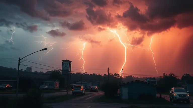
As of June 30, 2026, the United States faces a precarious atmospheric tipping point. A relentless heat dome is currently anchoring itself across central and eastern regions, acting as a high-pressure engine that is rapidly fueling a series of widespread severe thunderstorm watches. This is not merely a transient weather event; it is a manifestation of the 2026 ‘Super El Niño’ cycle, which is supercharging the conversion of stifling humidity into dangerous wind, hail, and torrential rainfall. For millions, including those navigating the high-traffic logistics of the 2026 FIFA World Cup, this weather pattern represents a significant disruption to both safety protocols and outdoor scheduling.
Understanding the distinction between a ‘watch’—which indicates favorable conditions for severe weather—and an immediate ‘warning’ is more critical than ever as volatility increases. However, the true challenge of this season extends beyond radar monitoring; it resides in our personal capacity to remain alert and composed under the duress of extreme environmental strain. As heat-related alerts persist, the physical and cognitive toll on the public is mounting, making it essential to prioritize not just external weather preparedness, but also your internal physiological readiness.
Current Climate Crisis: The June 30, 2026 Weather Transition

As of June 30, 2026, the United States is navigating a period of unprecedented meteorological volatility driven by a powerful Super El Niño climate pattern. This atmospheric phenomenon has catalyzed the development of a persistent, dangerous heat dome extending across the central and eastern regions, trapping stifling air masses and creating a volatile environment for summer storms. The National Weather Service (NWS) continues to issue widespread severe thunderstorm watch alerts as this extreme thermal energy interacts with advancing cooler air fronts, frequently resulting in rapid storm intensification.
The Dynamics of Heat-Induced Instability
The current weather pattern is defined by a precarious synergy between record-breaking humidity and soaring ambient temperatures. When a massive heat dome stagnates over a region, the atmospheric pressure gradient becomes increasingly unstable. As ground-level temperatures rise, the air becomes highly buoyant, leading to the rapid formation of updrafts when moisture is present. This process explains the current frequency of severe weather:
- Atmospheric Loading: Extreme heat loads the atmosphere with latent energy, providing the fuel necessary for powerful convective systems.
- Rapid Development: The intersection of these heat zones with minor shortwave troughs often triggers sudden transitions from localized storms to organized severe clusters.
- Increased Hazard Profile: These systems are currently prone to producing high-velocity damaging winds, large hail, and localized, life-threatening flash flooding.
Why ‘Watch’ Status Requires Immediate Vigilance
Public confusion often persists regarding the difference between a severe thunderstorm watch and a warning. A “watch” indicates that conditions are ripe for severe weather to develop; it is a signal to remain hyper-vigilant and monitor radar data closely. Given that these 2026 conditions are significantly more intense than in previous years, officials are urging residents to treat these alerts with higher priority. With major summer events, such as the 2026 FIFA World Cup, coinciding with this climate transition, organizers and attendees alike must prioritize safety over scheduling. The “Super El Niño” cycle has effectively compressed the time window for emergency responses, making real-time monitoring and situational awareness essential tools for survival during this extreme heat and storm transition.
Safety Protocols: Decoding Watch vs. Warning
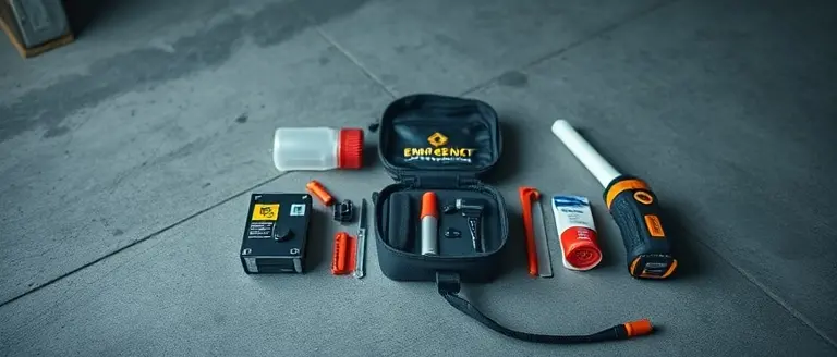
Understanding the distinction between weather alerts is a critical component of emergency preparedness, especially as the current Super El Niño pattern amplifies meteorological volatility across the United States. A severe thunderstorm watch indicates that atmospheric conditions—typically characterized by high instability, intense humidity, and extreme heat—are favorable for the development of severe storms. During a watch, the threat is not yet immediate, but the potential for damaging winds, large hail, and frequent lightning is elevated. This is the optimal window to review your family emergency plan, charge electronic devices, and secure outdoor furniture or event equipment that could become projectiles in high winds.
Conversely, a severe thunderstorm warning serves as an immediate call to action. It confirms that a storm producing hazardous conditions has been detected by radar or reported by ground spotters in your specific area. When a warning is issued, you must act instantly to protect lives and property.
Actionable Steps for Severe Weather Situations
- During a Watch: Remain vigilant by monitoring local National Weather Service (NWS) updates. Identify a sturdy interior room on the lowest level of your home or venue. For event organizers and those attending large gatherings, such as 2026 FIFA World Cup matches, identify the nearest designated storm shelters immediately upon arrival.
- During a Warning: Seek shelter inside a substantial structure. Move away from windows, skylights, and glass doors, as these are the primary points of failure during wind events. If you are outdoors or in a tented area, move to a permanent building immediately; do not rely on makeshift structures or vehicles, which offer minimal protection against high-velocity debris.
- After the Storm: Wait for official reports before heading outside. Be particularly cautious of downed power lines and structural damage, which remain significant risks long after the initial threat has passed.
By maintaining situational awareness and bridging the gap between passive observation and active safety planning, you can navigate these complex, heat-driven weather systems more effectively. Remember that “watch” means “be prepared,” while “warning” means “take cover now.”
The Heat-to-Storm Conversion: Why Humidity Matters

The current atmospheric landscape across the United States is being defined by a volatile “heat-to-storm” conversion cycle. As a persistent heat dome traps extreme temperatures over central and eastern regions, it functions as a high-octane engine for convective weather. Meteorologically, this process begins with high humidity acting as a latent energy source. When ground-level temperatures soar, the air mass becomes increasingly unstable; as moisture evaporates, it carries immense “latent heat” upward. When this rising air cools in the upper atmosphere, that heat is released, further accelerating updrafts and creating the perfect environment for a severe thunderstorm watch.
The relationship between the current “Super El Niño” pattern and these storms is direct. The excessive heat increases the amount of precipitable water the atmosphere can hold. When a trigger—such as a cold front or a localized boundary—breaks the cap of the heat dome, the release of this energy is explosive. This is why residents are seeing a heightened risk of damaging winds, large hail, and torrential rainfall rather than typical summer showers. The heat dome essentially pre-loads the atmosphere, ensuring that when storms initiate, they reach severe intensity rapidly.
Key Factors Driving Storm Volatility
- Atmospheric Instability (CAPE): High Convective Available Potential Energy levels allow storm clouds to grow vertically with extreme speed, leading to hail production.
- Moisture Availability: Increased humidity provides the “fuel” for heavier rainfall rates, raising the risk of flash flooding in urban areas.
- The Heat-Storm Feedback Loop: Intense heat destabilizes the lower atmosphere, lowering the threshold required for storm initiation compared to more temperate climates.
Understanding this conversion is essential for safety, especially as large-scale events like the 2026 FIFA World Cup continue. A severe thunderstorm watch indicates that the conditions for these convective storms are ripe; it is the atmospheric equivalent of a “loaded gun.” By monitoring radar updates and heeding NWS alerts, organizers and the public can better anticipate the transition from heat-wave stagnation to the rapid development of hazardous, high-wind weather systems.
2026 FIFA World Cup and the Impact of Climate Disruptions
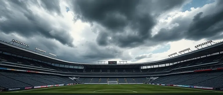
The 2026 FIFA World Cup is unfolding against a backdrop of unprecedented atmospheric volatility, as a persistent Super El Niño pattern intensifies the intersection of extreme heat domes and severe weather outbreaks. For organizers and millions of fans, this climate reality has transformed event logistics from a simple scheduling exercise into a complex safety mandate. As central and eastern regions of the United States face recurring severe thunderstorm watch alerts, the ability to manage massive outdoor crowds under the threat of sudden, dangerous convective storms has become a critical operational hurdle.
Logistical Challenges and Fan Safety
The primary concern for tournament officials is the rapid transition from oppressive heat to violent weather. High humidity and surface temperatures act as fuel for localized storms, often resulting in damaging wind gusts and large hail. When a severe thunderstorm watch is issued for a host city, organizers must navigate the following operational risks:
- Evacuation Protocol: Managing the safe, efficient movement of tens of thousands of spectators from open-air stadiums to reinforced, weather-proof structures.
- Heat-to-Storm Conversion: The psychological challenge of balancing heat exhaustion mitigation—which requires open, ventilated spaces—against the need for storm-hardened shelter.
- Schedule Volatility: Potential match delays or suspensions necessitated by lightning proximity or severe wind threats that could compromise structural integrity.
Evidence suggests that these climate shifts are no longer anomalous events but part of a new, volatile baseline for summer sporting events in North America. Unlike previous tournaments, the 2026 experience is defined by the necessity of hyper-local radar monitoring. Organizers are now required to maintain real-time integration with National Weather Service data to preemptively adjust fan entry times and transport services. As the tournament progresses, the primary objective remains clear: prioritizing public safety in the face of increasingly unpredictable and extreme meteorological cycles that threaten to disrupt the global event.
Mastering Your Resilience Amidst Climate Volatility
As the 2026 ‘Super El Niño’ pattern continues to fuel these dangerous heat-to-storm conversion pathways, staying informed is only half the battle. While tracking a severe thunderstorm watch is essential for your external safety, your internal physiological response to this prolonged heat stress is equally critical. Persistent extreme temperatures don’t just strain infrastructure; they deplete your metabolic reserves, often leading to the mental fog and irritability that can cloud your judgment during a time when split-second decisions matter most.
This is where proactive internal preparedness becomes your greatest advantage. By supporting your body’s metabolic stability, you can maintain the sharp, vigilant focus required to navigate these volatile summer months—whether you are managing event logistics or simply keeping your household safe. Sugar Defender acts as an essential safeguard, helping you maintain consistent energy levels and cognitive clarity despite the environmental pressures.
Don’t let the heat-induced energy crash compromise your situational awareness when you need it most. Empower your body to handle the stress of this unpredictable season by prioritizing your metabolic health today.  Support your focus and metabolic resilience through the heatwave—discover how to maintain consistent energy with Sugar Defender. Yes, I Want to Boost My Resilience Now!