
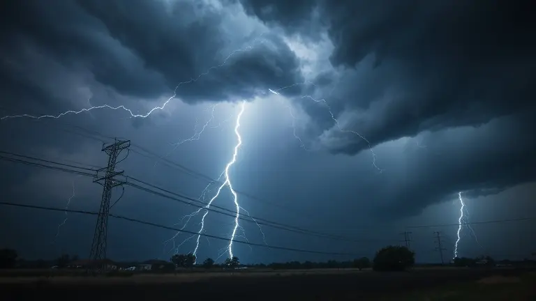
When the National Weather Service issues a severe thunderstorm watch, the atmosphere across the Northern Plains and Upper Mississippi Valley is signaling a high potential for instability. It is a moment where the horizon shifts, and preparation becomes the difference between uncertainty and peace of mind. While the meteorological term might feel technical, the reality is clear: conditions are ripe for damaging winds, large hail, and rapid weather shifts. Understanding what this alert means for your household is the first and most critical step in navigating the current convective weather patterns safely.
Being in a watch area means you have a window of time to move from concern to action. It is not just about monitoring your local news; it is about proactive steps that secure your family and your property against the unexpected. By distinguishing between a ‘watch’—which suggests vigilance—and a ‘warning’—which demands immediate cover—you empower yourself to make calm, informed decisions when the pressure is on. Let this guide serve as your immediate roadmap for staying prepared and protected.
Current Weather Alert: Severe Thunderstorm Watches Across the Central U.S.

As of June 5, 2026, meteorologists are closely monitoring a volatile weather pattern unfolding across the central United States. A potent combination of lee troughs and significant atmospheric instability has triggered a series of severe thunderstorm watch alerts throughout the Northern Plains and the Upper Mississippi Valley. These conditions are characteristic of early-June convective patterns, where warm, moist air masses collide with cooler, drier air, creating the perfect environment for the development of supercells. These systems carry the potential for damaging winds, large hail, and, in some instances, isolated tornadoes. Approximately 30 million people currently fall within the zones identified by the Storm Prediction Center (SPC) as having an elevated risk for flash flooding and severe weather impacts.
Understanding Current Meteorological Conditions
The current threat is driven by a synoptic setup that promotes rapid updrafts. As surface heating peaks during the afternoon, the atmosphere becomes increasingly primed for storm initiation. Residents in affected regions should remain alert, as these systems can develop and intensify with very little notice. Key hazards to anticipate during this active weather period include:
- Damaging Wind Gusts: Capable of downing trees and disrupting power grids.
- Large Hail: Potential for localized property damage and hazardous driving conditions.
- Flash Flooding: Resulting from high-intensity rainfall rates in saturated areas.
It is essential to stay informed through official channels, as the situation remains dynamic. The National Weather Service (NWS) provides the most accurate, real-time data regarding specific storm tracks and alert upgrades. We strongly recommend monitoring weather.gov or local NWS office updates to ensure you have the most up-to-date information for your specific coordinates. Remember that a severe thunderstorm watch indicates that conditions are favorable for severe weather to develop; preparation should begin immediately so that you are ready to take cover should the status be upgraded to a warning.
Understanding the Difference: Watch vs. Warning

When severe weather strikes the central United States, local authorities often issue alerts that can be confusing to the public. The most frequent point of ambiguity lies in the distinction between a severe thunderstorm watch and a warning. To simplify this, meteorologists often rely on the popular “taco analogy.” Think of a watch as having all the ingredients—shells, meat, cheese, and salsa—on your kitchen counter. You have everything you need to make tacos, but the meal hasn’t been prepared yet; similarly, a watch means atmospheric conditions are favorable for severe weather to develop, but no storms have been confirmed in your immediate vicinity.
A warning, by contrast, means the tacos are already being served. In meteorological terms, a warning indicates that a storm has been detected by radar or spotted by trained weather observers. When a warning is issued, severe weather is occurring or is imminent in your specific area. While a watch serves as an early notification to stay alert and review your safety plan, a warning is a call to immediate action.
Key Definitions for Storm Safety
- Severe Thunderstorm Watch: Conditions are ripe for severe weather. You should remain vigilant, keep an eye on local news, and ensure you have multiple ways to receive updated emergency alerts.
- Severe Thunderstorm Warning: Severe weather is currently happening. This is the time to move to a sturdy structure, seek shelter away from windows, and follow your pre-established safety protocol immediately.
Distinguishing these two terms is vital for effective storm preparedness. A watch covers a broad geographic area and often lasts for several hours, whereas a warning is highly localized and typically spans a shorter duration. By understanding these definitions, you can make informed decisions that protect your household during the volatile convective patterns common in early June. Always treat a warning as an immediate threat to life and property, requiring you to pause your activities and prioritize personal safety until the storm passes.
Quick Action Guide: How to Stay Safe When a Watch is Issued

When the National Weather Service (NWS) issues a severe thunderstorm watch, it serves as a critical signal that atmospheric conditions are favorable for the development of dangerous storms. Unlike a warning, which indicates a storm is imminent, a watch provides you with a vital window of time to prepare. As of June 2026, with millions of residents across the central United States facing convective instability, taking proactive steps is the best way to ensure safety. Maintain a calm, organized mindset rather than succumbing to panic; preparation is your most effective tool for mitigating risks from large hail, damaging winds, and flash flooding.
Immediate Steps for Your Safety
To protect your household and property when a watch is in effect, prioritize these actionable measures:
- Stay Informed: Keep a close watch on local news or a NOAA weather radio for real-time updates. Official bulletins from weather.gov provide the most accurate, localized information regarding the trajectory of storm cells.
- Secure Your Surroundings: High winds can turn everyday objects into projectiles. Quickly bring in or secure outdoor items, such as patio furniture, umbrellas, grills, and children’s toys.
- Power and Communication: Ensure your mobile devices are fully charged and consider keeping a portable power bank nearby. If you lose electricity, your phone will remain your primary link to emergency alerts.
- Review Your Plan: Identify your safe space within your home—typically an interior room on the lowest floor, away from windows and glass doors. Ensure all family members, including guests, know exactly where to go if conditions deteriorate into a severe thunderstorm warning.
- Monitor Local Conditions: Be aware of your surroundings and avoid outdoor travel if possible. If you must be on the road, pay close attention to weather reports and be prepared to seek sturdy shelter immediately if the sky turns dark or if sirens sound.
By acting early, you transform a potentially chaotic situation into a manageable safety exercise. Remember, the distinction between a watch and a warning is essential: a watch means “be prepared,” while a warning means “take action now.” Use this time to finalize your emergency kit and stay vigilant until the official alert has been cleared by meteorologists.
Recognizing Severe Weather Hazards
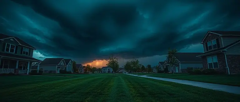
When the National Weather Service issues a severe thunderstorm watch, it signifies that the atmospheric conditions are primed for intense convection. Understanding the specific hazards associated with these systems is essential for effective preparation. These storms frequently produce large hail, which can cause significant property damage and pose a threat to those outdoors. Furthermore, damaging straight-line winds—often exceeding 60 mph—can snap tree limbs, down power lines, and create hazardous driving conditions within seconds. In some cases, these supercells possess the rotation necessary to generate brief tornadoes, which develop rapidly and often with little lead time.
Visual identification of these hazards is critical when you are located in an active area. While meteorologists monitor radar, local residents should keep an eye out for these physical warning signs:
- Dark, ominous, or greenish clouds: These often indicate a high-moisture environment capable of producing substantial hail.
- Rotating cloud bases: A wall cloud or a lowering of the storm base that exhibits circular movement is a primary indicator of a potential tornado.
- Sudden wind shifts: A rapid increase in wind speed or a sudden change in wind direction frequently precedes the arrival of a gust front or intense downdraft.
- Constant lightning and heavy rain: High-frequency cloud-to-ground lightning combined with torrential rainfall often masks more severe threats like hail or rotating winds.
Regardless of whether an official alert has been pushed to your mobile device, your personal safety must remain the priority. If you observe dark, rotating clouds, hear a low, continuous roar, or notice large debris falling, do not wait for an official broadcast. Seek sturdy shelter immediately in an interior room on the lowest level of a building. Staying informed via local news and weather radio is vital, but your situational awareness remains the most effective tool in your safety arsenal when a severe thunderstorm watch transitions into active, dangerous weather.
Building Resilience Beyond the Storm
Staying informed via the Storm Prediction Center is the baseline for safety, but true security comes from physical preparation. When the winds pick up, having a home that is structurally reinforced provides a level of protection that no app can match. By taking control of your home’s defense through custom, professional-grade craftsmanship, you shift from reactive fear to proactive confidence, ensuring your property is ready for whatever the climate brings next.
While preparing an emergency kit is vital, reinforcing your home’s infrastructure—from building secure storm-resistant storage units to custom structural reinforcements—is the ultimate way to handle seasonal volatility. Ted’s Woodworking offers the definitive construction blueprint collection that eliminates the guesswork and trial-and-error of DIY home hardening. These expert-verified plans provide the precision you need to build your home’s first line of defense, turning vague ‘preparedness’ into a tangible, high-quality reality that safeguards your most valuable investment.
By integrating these professional designs into your home maintenance, you ensure that your property is not just a building, but a fortress against the elements. Don’t leave your family’s safety to chance when you can build the solutions yourself with proven, easy-to-follow instructions.
 Download your comprehensive storm-ready workshop plans now to start building your home’s first line of defense.Yes, I Want To Secure My Home Now!