
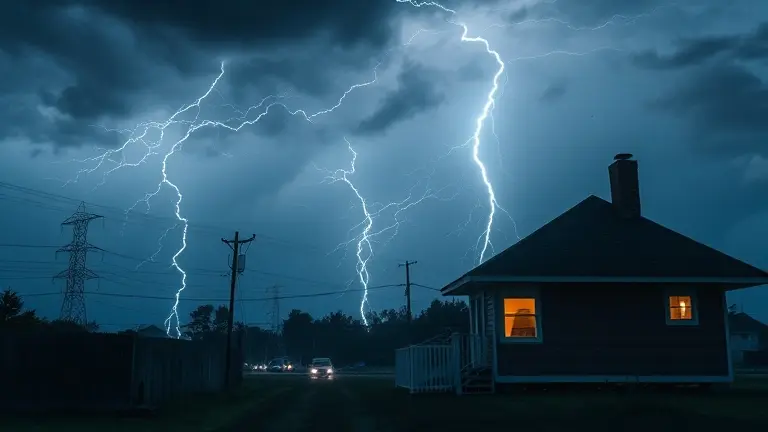
The roar of thunder and the darkening skies of May 20, 2026, have put millions of Americans on high alert as a dangerous, fast-moving severe thunderstorm warning system sweeps across the Midwest and Mid-Atlantic. From localized flooding to the looming threat of damaging winds and hail, this active weather pattern is pushing emergency response systems to their limits. Beyond the immediate navigation of NWS alerts, residents are left questioning why this spring has felt exceptionally volatile and how they can best safeguard their homes and families during this unprecedented period of atmospheric instability.
This article serves as your essential Severe Weather Toolkit, designed to cut through the noise and provide the clarity you need. We will demystify the critical differences between weather alerts, outline the steps for a 72-hour emergency kit, and provide actionable, expert-backed strategies for staying safe during power outages. When the sirens sound and the pressure drops, knowing exactly what to do—and why—is the difference between panic and preparedness.
Active Severe Weather Outbreak: May 20, 2026 Situation Report
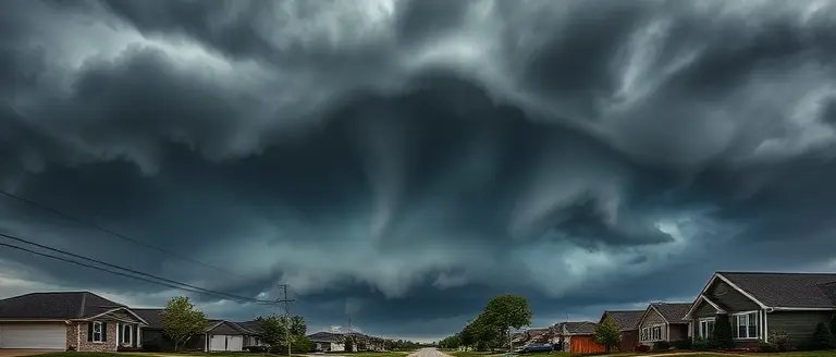
As of 5:30 PM on May 20, 2026, a significant and dangerous meteorological event is unfolding across the United States. A potent cold front is currently colliding with extreme seasonal temperatures, triggering a widespread severe thunderstorm warning surge across the Mid-Atlantic, New Jersey, and parts of the Midwest. Meteorologists have identified this as a high-impact weather outbreak, characterized by a volatile atmospheric environment that elevates the risk of severe property damage, localized flooding, and widespread power outages. Residents in affected regions must prioritize situational awareness as current reports indicate the rapid development of cells capable of producing damaging wind gusts and large hail.
Core Meteorological Threats and Public Safety
The National Weather Service (NWS) is actively monitoring multiple systems as they track eastward. The convergence of intense heat waves followed by a sharp temperature drop has created a prime environment for structural storm cells. Because the situation is evolving rapidly, official NWS alerts should be considered the primary source of truth for your immediate geographic area.
Key hazards currently being monitored include:
- Damaging Winds: Gusts exceeding 60 mph are possible, posing a high risk for downed trees and power lines.
- Large Hail: High-intensity updrafts are producing hail, which poses a significant threat to vehicles and home exteriors.
- Rapid Development: Storms are intensifying in real-time, meaning a watch can transition into an active severe thunderstorm warning with little notice.
It is critical that residents do not rely solely on third-party apps, which may experience data latency during peak traffic. Instead, keep a NOAA Weather Radio active or monitor official NWS social media channels and local news outlets to receive real-time updates. If a warning is issued for your immediate vicinity, move to an interior room on the lowest floor of your home and avoid windows until the threat has passed.
Understanding NWS Alerts: Watch vs. Warning vs. Advisory

During an active weather event like the current May 2026 outbreak, distinguishing between National Weather Service (NWS) alert levels is essential for your safety. Misinterpreting these terms can lead to delayed reactions when every second counts. The NWS uses a tiered system to communicate the urgency and probability of hazardous weather, and knowing these distinctions is the first step in effective emergency preparedness.
Severe Thunderstorm Watch: Be Prepared
A Severe Thunderstorm Watch means that the ingredients for dangerous storms—such as intense heat, humidity, and atmospheric instability—are present in your area. It does not mean a storm is currently occurring; rather, it indicates that conditions are favorable for severe development. During a watch, you should:
- Review your emergency plan with family members.
- Check your local forecasts frequently for updates.
- Ensure your mobile devices are charged and weather alerts are enabled.
- Stay alert to changing skies and be ready to move indoors quickly if the situation escalates.
Severe Thunderstorm Warning: Take Action
A Severe Thunderstorm Warning is an urgent call to action. It signifies that a severe storm—producing damaging wind gusts or large hail—has been detected on radar or reported by ground observers. If your location is included in a warning polygon, severe weather is either imminent or already happening. You must act immediately:
- Move indoors to a sturdy building or basement.
- Stay away from windows, glass doors, and electrical equipment.
- Avoid using corded telephones.
- If you are on the road, do not try to outrun the storm; find a safe structure immediately.
Weather Advisories: Use Caution
Unlike watches and warnings, an Advisory is issued for weather events that are inconvenient or hazardous but generally less life-threatening than a “severe” designation. These alerts warn of conditions like heavy rain or strong winds that could cause localized issues, such as minor flooding or downed tree limbs. While an advisory does not require the immediate sheltering associated with a severe thunderstorm warning, it still demands heightened situational awareness to prevent accidents. By understanding these NWS categories, you can make informed decisions that protect your property and, most importantly, your life.
Emergency Preparedness: Building Your 72-Hour Survival Kit
When a severe thunderstorm warning is issued for your area, your ability to remain safe often depends on the preparations made before the sky darkens. Following the widespread, dangerous weather patterns seen across the United States on May 20, 2026, it is clear that power outages and infrastructure disruptions can occur with little notice. To ensure your household remains resilient, you must maintain a portable 72-hour survival kit that is easily accessible in the event of an immediate evacuation or a prolonged loss of utilities.
Essential Supplies for Your Emergency Kit
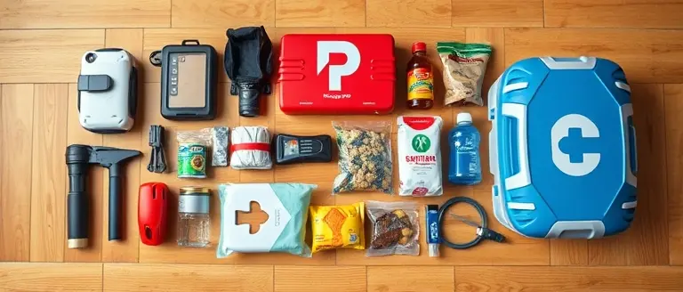
Your emergency kit should be stored in a sturdy, waterproof container that is easy to grab and carry. According to emergency management guidelines, you should aim to sustain every member of your household for at least three full days. Key items include:
- Hydration: Store at least one gallon of water per person per day, intended for both drinking and basic sanitation.
- Nutrition: Stock up on non-perishable food items that require no refrigeration or cooking, such as protein bars, canned meats, or dried fruits.
- Lighting and Power: Include high-lumen flashlights, extra batteries, and a fully charged portable power bank to keep your mobile devices operational for receiving official National Weather Service (NWS) updates.
- Safety and Health: Keep a comprehensive first-aid kit, prescription medications, and essential hygiene supplies readily available.
- Documentation: Maintain physical copies of vital documents—such as insurance policies, identification, and medical records—inside a sealed, waterproof bag.
Beyond these physical goods, ensure that every family member knows the location of the kit and understands the emergency plan. As meteorological patterns become more volatile, proactive readiness is your most effective defense against the unpredictable threats posed by damaging winds, hail, and the electrical instability associated with modern, high-impact storm fronts. Regularly audit your supplies to replace expired items, ensuring your kit remains a reliable safety resource throughout the remainder of the active storm season.
Safety Protocols During Power Outages and Severe Weather

When a severe thunderstorm warning is in effect, the risk of infrastructure damage and subsequent power outages increases significantly. During these high-impact weather events, prioritizing safety requires immediate action and long-term preparation. If your electricity fails, your primary goal is to maintain personal safety while protecting your property from secondary hazards like electrical fires or surge damage.
Immediate Steps to Take During an Outage
Once the lights go out, avoid the temptation to walk through your home with open flames. Instead, rely on battery-operated flashlights or lanterns to navigate safely. Candles are a major fire hazard, especially during storms where emergency response teams may be delayed by blocked roads or downed lines. Furthermore, protect your sensitive electronics—such as computers, televisions, and smart home hubs—by immediately disconnecting them from power outlets. This prevents catastrophic damage caused by voltage spikes when power is eventually restored.
Food Safety and Perimeter Awareness
Managing your resources effectively during an outage is vital for minimizing waste and avoiding health risks:
- Keep Refrigerators Closed: A refrigerator will keep food cold for about four hours if left unopened. A full freezer will maintain its temperature for approximately 48 hours if the door remains shut. Avoid the urge to check the contents frequently.
- Avoid Downed Lines: If you must venture outside after a storm passes, treat every downed power line as if it is live and energized. Stay at least 35 feet away and report the location immediately to your utility provider.
- Stay Sheltered: During the peak of the storm, remain in the innermost room of your home, away from windows and glass doors. High-wind events can turn debris into projectiles in seconds, making the perimeter of your home the most dangerous location.
By following these protocols, you can mitigate the dangers associated with the volatile weather patterns currently impacting the Mid-Atlantic and Midwest. Staying informed through battery-powered weather radios or mobile alerts remains the most effective way to navigate these challenging conditions safely.
Building Your Total Resilience Plan
As you secure your property and track the latest severe thunderstorm warning updates, remember that true preparedness extends beyond plywood and flashlights. The atmospheric volatility we are experiencing across the country this May is not just a threat to our infrastructure, but a genuine stressor on our physical well-being. Rapid shifts in barometric pressure and the redistribution of airborne allergens during these storm fronts can place significant, unexpected strain on your sinuses and upper respiratory system.
While you are securing your home against wind and hail, don’t overlook the internal toll these rapid environmental changes take on your health. ProDentim serves as a critical component of an ‘all-hazards’ personal readiness plan, helping you maintain internal physical balance when the climate turns volatile. By supporting the health of your respiratory system from within, you ensure that you remain resilient and ready, regardless of the storm conditions outside.
ProDentim is uniquely positioned to help you face these environmental stressors, offering a proactive approach to wellness that complements your safety protocols. Build your personal defense system from the inside out; learn how to support your respiratory health during volatile weather shifts here.
 Build your personal defense system from the inside out; learn how to support your respiratory health during volatile weather shifts here.Protect My Respiratory Health Now!