
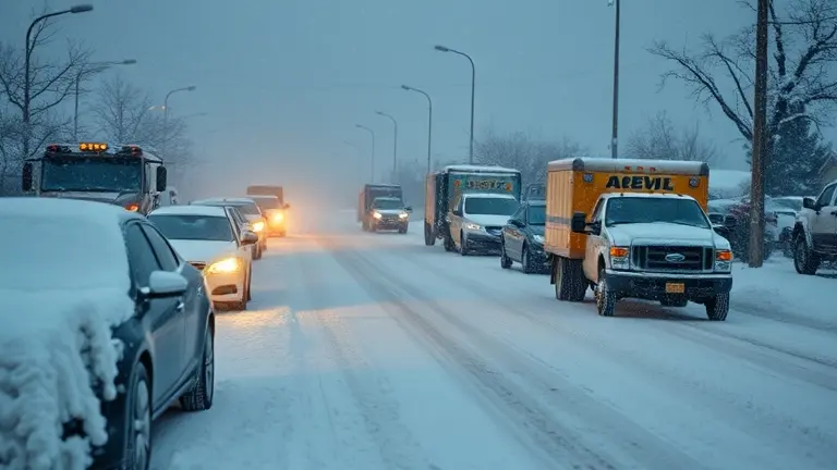
On May 4, 2026, the National Weather Service issued a winter storm watch for the Denver metro area, signaling a dramatic shift from mild spring temperatures to a significant, late-season snow event. As residents wake up to forecasts calling for heavy, wet snow—ranging from 3 to 9 inches in the city to two feet in the mountains—the primary concern moves beyond simple travel disruptions. This classic Colorado ‘upslope’ event brings the specific challenge of accumulating heavy, moisture-laden snow on blooming vegetation and outdoor structures, threatening to undo the progress of your early spring gardening.
While this moisture is undeniably a boon for long-term drought relief and our local agricultural health, the immediate impact requires proactive property management. As we brace for this unexpected freeze, understanding how to protect your landscaping and reinforce your garden infrastructure is the key to navigating the next 48 hours. This guide serves as your calm, informative resource for weathering the storm and preparing for the recovery phase that inevitably follows a heavy spring snowfall.
Denver Winter Storm Watch: What to Expect from the May 5-6 System
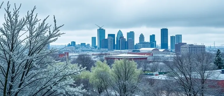
The National Weather Service (NWS) has officially issued a winter storm watch for the Denver metro area and the I-25 corridor, signaling a dramatic shift in Colorado’s climate. Following a deceptively mild Monday that encouraged early spring activity, the region is bracing for a significant late-season weather event. This sudden transition is characteristic of high-altitude spring meteorology, where cold fronts colliding with moist upslope flow frequently catch residents off guard. The storm is projected to impact travel and infrastructure from Tuesday, May 5, through Wednesday, May 6, 2026.
Expected Snow Accumulations and Storm Dynamics
Unlike the dry, light powder common in mid-winter, this system is expected to deliver heavy, wet snow that carries a higher moisture content. This specific weight density significantly increases the risk of broken tree branches and localized power outages. Residents should prepare for the following impacts:
- Denver Metro Area: Accumulations are forecast to range between 3 to 9 inches, which may cause slushy, hazardous conditions on major roadways during the Tuesday morning and Wednesday evening commutes.
- Mountain Regions: Higher elevations could see significant snowfall totals reaching up to 2 feet, creating dangerous travel conditions over mountain passes.
- Sudden Temperature Drop: The rapid cooling will likely lead to a hard freeze, putting sensitive spring vegetation and budding plants at risk of severe damage.
Because of the high water content of this snow, the Denver weather forecast serves as both a warning for commuters and a critical update for the agricultural sector. While the immediate disruption poses challenges for travel safety, meteorologists emphasize that this moisture is vital for long-term drought relief in the state. By capturing this precipitation now, local reservoirs and dry soil beds stand to benefit from the late-season influx of water, helping to stabilize the broader Colorado water supply heading into the hotter summer months.
Protecting Your Spring Landscape: A Guide for Wet Snow
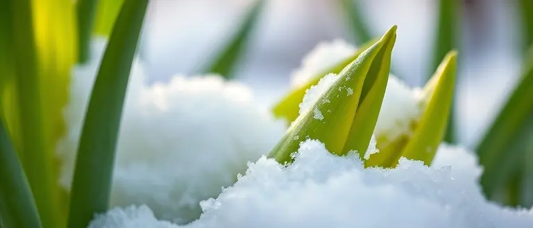
The winter storm watch issued for the Denver weather area brings a specific challenge for local gardeners and homeowners: the weight of heavy, moisture-rich snow. Unlike the light, airy powder typically seen in mid-winter, this late-season system is expected to cling to delicate spring buds and fragile new growth. This added weight can cause significant structural damage to trees and shrubs. To minimize potential loss, take proactive measures before the accumulation begins.
Immediate Steps for Plant Protection
When a hard freeze follows a period of spring warmth, your landscape is at its most vulnerable. To mitigate damage, prioritize these actions:
- Bring Potted Plants Inside: Any container-grown vegetation should be moved into a garage, shed, or sheltered interior space. Potted plants lack the insulation of the ground and will freeze much faster than those planted in the soil.
- Cover Delicate Shrubs: Use burlap, frost blankets, or old bedsheets to cover sensitive perennials and flowering shrubs. Avoid using plastic directly against the plant, as it can trap moisture and transfer cold. Secure your coverings at the base to retain heat.
- Remove Heavy Accumulations: If snow begins to accumulate on branches, use a soft broom to gently brush the snow off in an upward sweeping motion. Because this snow is exceptionally dense, failing to clear it quickly can lead to snapped branches and permanent limb deformation.
- Water Your Plants: If the ground is not yet frozen, give your plants a deep watering. Moist soil holds heat better than dry, parched soil, providing a small thermal buffer that can protect root systems during a sudden cold snap.
By acting now, you protect your spring landscape from the most severe impacts of this late-season storm. While this moisture is excellent for long-term drought relief, the immediate physical weight requires diligent management to ensure your garden survives the temperature dip. After the storm passes, wait for the snow to melt naturally rather than pulling on frozen or brittle plant material, which can cause additional breakage.
Driving in Heavy, Wet Snow: Essential Safety Tips

When a winter storm watch is issued for the Denver weather region during the spring, the character of the precipitation often differs significantly from mid-winter storms. Unlike the light, airy “powder” typically seen in the high Rockies, this late-season event brings high-density, heavy, wet snow. This type of accumulation carries a much higher water content, creating slushy, treacherous road conditions that require a specific approach to vehicle handling. Because wet snow is significantly heavier than dry flakes, it tends to cling to road surfaces and can create deep ruts that pull at your steering wheel, increasing the risk of loss of control.
To navigate the I-25 corridor and local metro streets safely during this period, motorists should adopt the following defensive driving strategies:
- Clear Your Entire Vehicle: Before pulling out of your driveway, remove snow from the roof, hood, and trunk. In wet snow conditions, failing to do so creates a dangerous “slush-slide” effect; if you brake suddenly, a sheet of heavy snow can slide down your windshield, completely obstructing your view at a critical moment.
- Increase Following Distances: Wet snow drastically reduces tire traction. Triple your usual following distance behind the vehicle in front of you to allow for the increased stopping distance necessitated by slushy, slick pavement.
- Avoid Sudden Maneuvers: Heavy, wet snow creates localized resistance. Jerky movements—such as sharp steering, sudden braking, or aggressive acceleration—are more likely to trigger a skid than in dry conditions. Smooth, deliberate inputs are essential to maintaining vehicle stability.
- Monitor for Hydroplaning: As temperatures hover near the freezing mark, the bottom layer of snow may turn to slush. Driving through deep slush can cause your tires to lose contact with the road, leading to a phenomenon similar to hydroplaning. If you feel your steering become light or unresponsive, ease off the accelerator immediately without slamming on the brakes.
By understanding the physics of this specific late-season storm, Denver residents can better anticipate how their vehicles will react to the road. Prioritize patience and low speeds, as the high water content of this storm makes it particularly effective at creating hidden patches of ice beneath the slush. Always ensure your headlights are fully illuminated to increase your visibility to other drivers amidst the heavy, wet accumulation.
Reframing the Storm: The Environmental Value of Late-Season Moisture
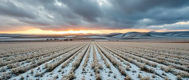
While a winter storm watch in early May often triggers frustration for Denver residents anticipating warmer weather, it is vital to recognize the significant environmental dividend this moisture provides. In the context of Colorado’s semi-arid climate, late-season storms are not merely a disruption to daily travel; they function as a life-sustaining “liquid asset” for the state’s agricultural and ecological health. Following a relatively mild spring, soil moisture levels in the I-25 corridor and surrounding regions can drop rapidly, leaving crops and native vegetation vulnerable to early summer heat.
The Agricultural Impact
The heavy, wet snow forecast for this week acts as a slow-release irrigation system. Unlike a rapid rainfall that might lead to immediate runoff and erosion, snowpack allows for gradual soil infiltration. This moisture is critical for several reasons:
- Drought Mitigation: Persistent moisture deficits remain a concern across the American West; this event helps recharge deep-soil water tables that are essential for long-term agricultural stability.
- Supporting Summer Crops: Consistent soil moisture during the planting season improves germination rates and reduces the reliance on irrigation systems during the peak heat of July and August.
- Forest Health: Increased snowpack density provides necessary hydration to regional forests, which directly influences wildfire resilience by keeping undergrowth and tree canopies less susceptible to rapid combustion.
By reframing this Denver weather event as a critical component of the hydrological cycle, we can move past the inconvenience of shoveling and appreciate the long-term benefits. While the immediate focus remains on safety and property protection, this late-season influx of water is a fundamental requirement for maintaining the regional agricultural sector and ensuring the environmental vitality of Colorado’s diverse landscape throughout the upcoming summer months.
Building Resilience After the Storm
As the skies clear and the heavy, wet snow begins to melt, the true extent of the damage often becomes visible. Late-season storms are notoriously damaging to trees and outdoor wooden structures, which are caught unprepared by the weight of slushy accumulation. Rather than simply cleaning up the debris, savvy homeowners view this as a pivotal opportunity to reinforce their property against future climate volatility. By transitioning from reactive repairs to proactive construction, you ensure that your garden remains a sanctuary regardless of how unpredictable Colorado weather becomes.
This is where the right tools and professional blueprints make all the difference. When you are assessing structural failures in trellises, garden covers, or storage sheds, having access to high-quality, proven designs can turn a frustrating post-storm cleanup into a significant home improvement project. By utilizing a comprehensive library of woodworking plans, you can build custom, weather-resistant reinforcements that are specifically designed to withstand the unique pressures of our mountain climate, effectively future-proofing your landscape against the next inevitable spring freeze.
Don’t let the next storm dictate the condition of your home and garden. Investing in professional-grade guidance allows you to reclaim your outdoor space and transform damaged areas into stronger, resilient zones that stand the test of time. Take control of your property’s long-term durability today by gaining access to the precision-tested blueprints needed to build with confidence.
 Build your way to a more resilient garden—access over 16,000 professional woodworking plans to repair and reinforce your property today.Yes, I Want to Build a Stronger Garden!