
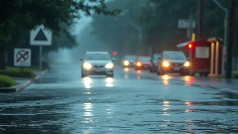
As heavy rains sweep across Bexar, Guadalupe, Medina, and Comal counties, the sound of a flash flood warning alert serves as a stark reminder of the volatile nature of the Central Texas landscape. When the National Weather Service issues these urgent advisories, the immediate priority is always life safety: monitoring local coverage from KSAT 12, avoiding flooded roadways, and staying alert to changing conditions. However, the recurring nature of these intense storm systems highlights a critical necessity that extends far beyond the immediate 48-hour event window.
True flood safety is not merely reactive; it is rooted in preparedness and the physical hardening of your property. While you cannot stop the rainfall, you can significantly mitigate its impact on your home’s structural integrity through proactive DIY reinforcements. By understanding how to interpret meteorological alerts and implementing long-term home resilience strategies, you transition from a position of vulnerability to one of command, ensuring that your property is equipped to withstand the forces of nature long after the latest weather system moves through the Edwards Plateau.
Current Flash Flood Emergency: San Antonio and Hill Country Update
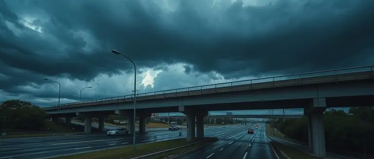
As of May 1, 2026, the San Antonio region and the surrounding Hill Country are grappling with a severe meteorological event that has necessitated an urgent flash flood warning. Following a persistent storm system moving across the Edwards Plateau, significant atmospheric instability has resulted in heavy, localized rainfall. According to reporting from KSAT 12 and data provided by the National Weather Service (NWS), several counties are currently experiencing dangerous hydrological conditions. Residents across Bexar, Guadalupe, Medina, and Comal counties are urged to exercise extreme caution as saturation levels hit critical thresholds.
Regional Rainfall Impacts and Meteorological Threats
The current storm activity has dumped an estimated 2 to 4 inches of rain across the region in a condensed timeframe, creating a high-risk environment for flash flooding. The rapid accumulation of water on already saturated terrain poses a substantial threat to public infrastructure, particularly in low-lying areas and flood-prone drainage basins. The urgency of this flash flood warning cannot be overstated, as the combination of steep terrain in the Hill Country and urban density in San Antonio creates a recipe for life-threatening water rises.
Meteorologists, including those featured on KSAT, emphasize that the primary risks at this hour include:
- Rapid Water Rise: Creeks and drainage channels are expected to crest quickly, potentially overwhelming local roadways.
- Commuter Hazards: Major thoroughfares and low-water crossings in the affected counties remain high-risk zones for vehicles.
- Infrastructure Strain: Drainage systems are currently operating at maximum capacity, increasing the likelihood of street flooding.
Authorities advise against any unnecessary travel until the weather system fully exits the region. For real-time updates on specific road closures and to track the movement of the storm, residents should continue to monitor official channels and local news outlets like KSAT 12 for the latest expiration times and advisory downgrades.
Official Resources: Real-Time Maps and Road Closures

During a flash flood warning, accessing accurate, real-time data is critical for your safety and decision-making. Relying on social media speculation can often lead to confusion or the spread of outdated information. Instead, residents in San Antonio and the surrounding Hill Country should prioritize official channels to track storm movement and infrastructure hazards. Local news outlets like KSAT 12 provide excellent live coverage, but you should always cross-reference their reports with official government portals that monitor water levels and transit conditions.
Essential Tracking Tools for San Antonio
To stay ahead of severe weather, utilize these verified resources for Bexar, Guadalupe, Medina, and Comal counties:
- National Weather Service (NWS) Austin/San Antonio: Monitor the NWS official radar for the most accurate, second-by-second updates on a flash flood warning expiration time and storm trajectory.
- Bexar County Flood Status Portal: Check the Bexar Flood website to view real-time low-water crossing closures and rainfall totals across the region.
- TxDOT DriveTexas: Always consult DriveTexas.org before departing. This platform offers the most reliable, state-maintained data regarding road closures, highway flooding, and active construction impacts.
- KSAT 12 Weather Authority: Follow the KSAT weather portal for localized updates and live streaming video from meteorologists when conditions shift rapidly.
Verifying Before You Drive
The “Turn Around, Don’t Drown” mantra is not just a slogan; it is a life-saving protocol. Even if a specific area is not under a current flash flood warning, urban runoff can cause sudden, dangerous conditions on San Antonio roadways. By utilizing the resources above, you can verify road safety before leaving your home. If a road closure is posted on the Department of Transportation dashboard, do not attempt to bypass barricades under any circumstances, as depth markers can be misleading in murky, fast-moving water. Relying on these centralized portals ensures you remain informed, compliant with local safety directives, and far away from potential high-water dangers.
Turn Around, Don’t Drown: Essential Flood Safety Protocols

When a flash flood warning is issued for regions like Bexar or Comal counties, the most critical survival strategy is adhering to the “Turn Around, Don’t Drown” initiative. Developed by the National Weather Service, this protocol emphasizes that water-covered roadways are deceptively dangerous. Physics dictates that just 6 inches of fast-moving water can reach the bottom of most passenger cars, potentially causing loss of control or stalling. Escalating to 12 inches of water, even a standard SUV or truck can become buoyant, effectively losing traction and being swept off the pavement. It is vital to understand that depth is not the only factor; the speed of the current exerts immense force against a vehicle’s frame, turning a commute into a life-threatening scenario.
Navigating Hazardous Road Conditions
If you encounter flooded roads, never attempt to bypass barriers or gauge the depth yourself. Meteorologists from KSAT 12 and other local experts frequently remind residents that road surfaces can be completely washed away beneath muddy floodwaters. To ensure your safety during heavy rain events, follow these actionable guidelines:
- Avoid Low-Water Crossings: These areas are designed for drainage but become lethal traps during intense storm cells. If you see a crossing, seek an alternate, higher-elevation route immediately.
- Monitor Official Channels: Use KSAT news apps or local Department of Transportation alerts to verify road closures before starting your commute.
- Identify Urban Warning Signs: Be wary of rapid water accumulation near drainage ditches, culverts, and street gutters. If water is approaching the curb or flowing over the sidewalk, do not proceed.
- Never Exit a Stalled Vehicle: If your car stalls in rising water, stay inside unless the water levels begin to enter the cabin. If water is rising rapidly, abandon the vehicle and move to higher ground immediately.
By prioritizing caution over convenience, you significantly reduce the risks posed by volatile weather systems moving through the Edwards Plateau. Remember, a flash flood warning is a high-urgency alert that requires immediate behavioral change, not just awareness. When in doubt, always choose a different path to your destination.
Preparing Your Home and Family for Flash Flooding
Living in areas susceptible to severe weather, such as Bexar and Guadalupe counties, requires a proactive approach to home safety. When a flash flood warning is issued—often disseminated through local outlets like KSAT 12—it signifies that flooding is either occurring or imminent. Unlike a “Watch,” which indicates that conditions are favorable for flooding, a Warning requires immediate action to protect life and property. To build long-term resilience, homeowners should establish a comprehensive emergency plan before the skies turn dark.
Essential Preparedness Strategies
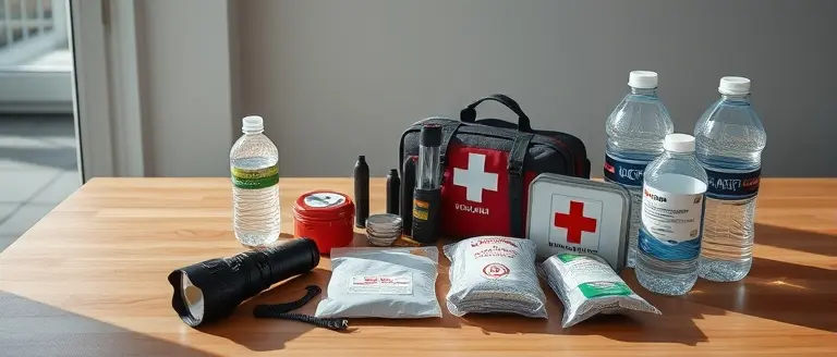
Building a “go-bag” is your first line of defense. This kit should be stored in a waterproof container and include essentials for at least 72 hours, such as non-perishable food, bottled water, prescription medications, battery-powered radios, and vital documents stored in a sealed bag. Additionally, familiarize yourself with these critical steps:
- Secure Outdoor Hazards: High winds and rising water can turn patio furniture, grills, and yard debris into dangerous projectiles or block drainage paths. Move these items to higher ground or a secure garage when a flood threat is identified.
- Utility Management: Learn the location of your main power breaker and water shut-off valves. If authorities order an evacuation and you have time to do so safely, turn off these utilities to prevent electrical fires or contamination. Never touch electrical equipment if you are standing in water.
- Monitor Official Sources: Rely on the National Weather Service (NWS) and local trusted voices like KSAT for updates. Avoid social media rumors; instead, keep a weather radio tuned to your local NWS broadcast for real-time information.
- Elevate Valuables: If you live in a low-lying area, move critical household electronics and precious belongings to upper floors or attic spaces well before water levels begin to rise.
Understanding these protocols ensures that when a flash flood warning is active, you are operating from a place of preparedness rather than panic. By staying informed and maintaining your supplies, you significantly reduce the risks posed by sudden, heavy rainfall events common across the Texas Hill Country. Always remember the mantra: “Turn Around, Don’t Drown,” as driving into flooded roads remains the leading cause of flood-related fatalities.
Transforming Anxiety into Home Resilience
Staying informed during a flash flood warning is the first line of defense, but true peace of mind comes from knowing your home is structurally prepared to handle the elements. When the heavy rains subside and the local alerts from KSAT 12 clear, the focus must shift from emergency response to proactive fortification. Hardening your property against future water damage is not just an investment in your home—it is an investment in your family’s safety.
This is where your journey toward complete home resilience truly begins. By moving from passive concern to active improvement, you take control of your environment. Ted’s Woodworking provides the ultimate toolkit for this mission, offering over 16,000 professional-grade blueprints that allow you to construct sturdy, water-resistant storage solutions, raised platforms, and reinforced home structures. These aren’t just projects; they are essential barriers against the next storm system.
By integrating these technical resources into your home maintenance routine, you effectively bridge the gap between temporary safety protocols and long-term property protection. Don’t wait for the next severe weather event to realize your home’s vulnerabilities. Equip yourself with the plans and the confidence needed to secure your property today, turning high-anxiety weather patterns into a manageable and rewarding home improvement mission.
 Start building your home’s defenses today—click here to access the complete library of workshop-tested plans and secure your property against future severe weather.Secure My Home Resilience Toolkit Now!