
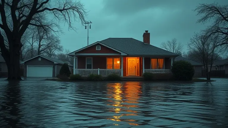
As heavy rains sweep across Texas, the National Weather Service has issued an urgent flood watch for San Antonio, Houston, and surrounding areas. With soil saturation already at critical levels, the threat of flash flooding is not just a headline—it is an immediate risk to your daily commute and property security. Relying solely on official alerts is no longer enough; residents in high-risk zones must shift from passive observation to active, localized preparedness to navigate these severe weather events safely.
This guide moves beyond generic warnings to help you identify high-water crossings and implement practical, immediate measures to harden your home. While staying informed keeps you safe on the road, proactive home improvements are the ultimate insurance against the emotional and financial toll of repeated water intrusion. It is time to move beyond the waiting game and take control of your property’s resilience before the next storm system hits your neighborhood.
Current Flood Watch Status: San Antonio and Houston (April 30, 2026)

As of April 30, 2026, the National Weather Service (NWS) has issued an urgent flood watch encompassing major metropolitan areas in Texas, specifically targeting San Antonio and Houston. This weather alert is currently in effect through Friday, May 1, 2026, as a series of potent storm systems tracks across the region. Meteorologists warn that the combination of intense rainfall and pre-existing, saturated soil conditions creates a significant hazard for flash flooding. Residents in Bexar and Harris counties should remain highly vigilant, as the ground lacks the capacity to absorb the heavy precipitation, leading to rapid water runoff in urban centers and low-lying areas.
Current meteorological models predict rainfall accumulation between 2 and 6 inches across these impacted zones. Because this water will likely congregate in local drainage systems and low-water crossings, the risk to public safety is extreme, particularly during the Friday morning commute. Local authorities have emphasized that this is not a generic weather event; the potential for localized urban flooding is compounded by the persistent nature of the incoming storms.
Essential Safety Priorities for Residents
To ensure personal safety during this period of high instability, residents are encouraged to adhere to the following directives:
- Avoid High-Water Crossings: Never attempt to drive through flooded roadways. Even a few inches of flowing water can cause vehicles to lose traction or be swept away.
- Monitor Local Updates: Keep a battery-powered radio or a reliable weather app active to receive real-time alerts from local NWS offices and municipal emergency services.
- Secure Property: Move outdoor equipment, patio furniture, and personal items to higher ground if your property is located in a historically flood-prone neighborhood.
- Commute Planning: If travel is necessary, allow for extra time and utilize main thoroughfares rather than secondary roads, which are often the first to experience dangerous high-water spots.
Given the high probability of sudden water rise, the primary goal is to minimize time spent on the roads during peak storm intensity. Stay informed and prioritize safety until the current flood watch expires on May 1.
Interactive Commuter Hazard Map: Real-Time Flood Zones

Navigating through a flood watch requires more than just checking general weather reports; it demands hyper-local awareness of your specific commute path. In metropolitan areas like Houston and San Antonio, the infrastructure is particularly susceptible to rapid inundation, especially at known low-lying underpasses and arterial road intersections. By utilizing interactive hazard maps, residents can cross-reference active flash flood warnings with live traffic flow data. These digital tools are essential for identifying high-water spots before you leave your driveway, potentially saving you from becoming stranded in an emergency situation.
How to Utilize Real-Time Hazard Layers
To effectively manage your commute during this period of heavy rainfall, follow these steps to integrate map data into your travel planning:
- Layer Activation: Access your preferred local traffic portal and ensure the “Weather Overlay” or “Flood Layer” is active. This typically displays polygons over areas currently under a National Weather Service alert.
- Intersection Scouting: Focus on critical chokepoints. In Houston, pay close attention to areas near the bayou systems, while San Antonio commuters should monitor low-water crossings along the I-10 and Loop 410 corridors.
- Dynamic Routing: If a segment of your route is highlighted in red or yellow, do not attempt to bypass it by driving through side streets. Often, neighborhood roads carry equal risks of drainage failure and standing water.
- Alert Notifications: Set your mobile device to receive push notifications from local emergency management services. These are often geo-fenced and provide the most accurate, real-time intelligence on which roads have been officially closed due to high water.
By shifting from reactive driving to proactive route planning, you significantly reduce the risk of stalled vehicles and accidents. Always prioritize the “Turn Around, Don’t Drown” mantra; even a few inches of water can displace a vehicle, and moving water creates hidden hazards in road surfaces that are impossible to gauge from the driver’s seat. Use these digital maps as your primary defense against the unpredictable nature of flash flooding in the region.
Flash Flood Safety: Survival Guide for Drivers
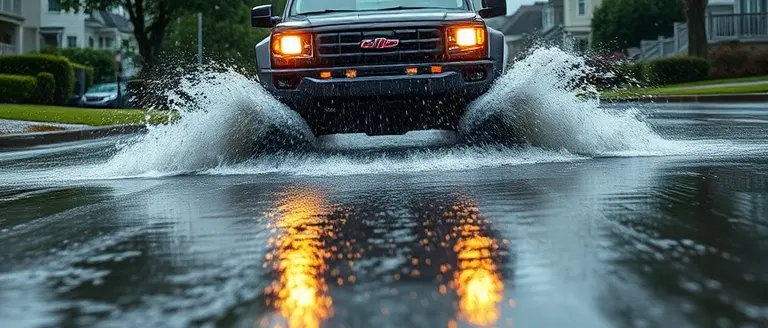
When a flood watch is issued for major metropolitan areas like Houston or San Antonio, your primary directive is to prioritize safety over schedule. Flash flooding occurs with little warning, and road surfaces that appear safe can hide dangerous structural damage or swift-moving currents beneath just a few inches of water. Because soil across Texas is currently saturated from recent storm systems, runoff will happen significantly faster than usual, leading to rapid pooling in low-lying areas and underpasses.
The “Turn Around, Don’t Drown” Protocol
The most critical rule during any flash flood event is to never attempt to drive through flooded roadways. The National Weather Service emphasizes the “Turn Around, Don’t Drown” principle because it is physically impossible to accurately gauge water depth from the driver’s seat.
- Avoid High-Risk Areas: Steer clear of known flood-prone intersections and underpasses, which act as collection points for urban runoff.
- Respect Barriers: If you encounter standing water or barricades, do not attempt to bypass them. Even six inches of moving water can reach the bottom of many passenger cars, causing loss of control or engine stalling.
- Assess Depth Realistically: Twelve inches of flowing water can sweep away most vehicles, and two feet of water can carry away even large SUVs and trucks.
- Trust Visual Indicators: If you cannot see the road markings or the depth of the water, assume it is unsafe.
What to Do If Your Vehicle Stalls
If your vehicle stalls in moving water, do not wait for the water levels to rise while you remain inside. Statistics show that the majority of flood-related deaths occur inside vehicles.
- Evacuate Immediately: If the water is rising around your car and your vehicle is no longer moving, abandon the vehicle and move to higher ground immediately.
- Stay Clear of Currents: Do not walk through moving water; as little as six inches can knock an adult off their feet.
- Report Your Location: Once you have reached a safe, elevated location, contact emergency services to report your status and location to assist local authorities in prioritizing rescue operations.
- Visibility is Key: Keep your headlights on to remain visible to other drivers and emergency responders during heavy downpours. By staying alert and avoiding unnecessary travel during a flood watch, you significantly decrease your risk of becoming stranded in high-water conditions.
Emergency Resource Directory: Houston and San Antonio

During a flood watch, immediate access to verified information can prevent dangerous decision-making on the road. Residents in Harris County and Bexar County should prioritize official channels for real-time updates rather than relying solely on social media reports. If you encounter flooded roadways, remember the mantra: “Turn Around, Don’t Drown.” Because the soil is already saturated, flash flooding can occur with little warning, turning familiar commutes into life-threatening hazards within minutes.
Essential Contact Information and Reporting
When power lines fail or local streets become impassable, use these resources to report hazards and monitor the situation. Ensure your mobile device is charged and you have these numbers saved.
- Harris County Flood Control District: Visit HarrisCountyFloodControl.org for real-time rainfall data and neighborhood-specific stream levels.
- Houston TranStar: Access HoustonTranStar.org for live traffic maps, high-water locations, and major road closure alerts across the metro area.
- Bexar County/San Antonio Emergency Management: Check ReadySouthTexas.gov for emergency shelter locations and regional evacuation route updates.
- Report High Water: Dial 3-1-1 in both Houston and San Antonio to report stalled vehicles or flooded intersections to city services immediately.
Utility and Power Outage Maps
Severe storms often bring high winds alongside heavy rain, leading to localized power outages. Before attempting to travel, check your provider’s outage map to see if your area is affected.
- CenterPoint Energy (Houston): View the Outage Tracker to see current restoration estimates and incident statuses.
- CPS Energy (San Antonio): Monitor the Outage Map for real-time updates on power restoration efforts across the region.
Always keep your emergency kit stocked and monitor the National Weather Service official alerts for your specific county. If you are ordered to evacuate or encounter a flooded road, prioritize your safety by seeking higher ground immediately; do not attempt to bypass barricades, as depth is often deceptive.
Take Control of Your Home’s Resilience
Managing the aftermath of extreme weather starts with preparation, not just repairs. While monitoring the flood watch is your first line of defense against the current storm, securing your physical assets against future water damage is the only way to reduce long-term stress and protect your biggest investment. Turning your home into a fortified, resilient space doesn’t have to be a complicated, expensive process when you have the right roadmap.
This is where proactive home hardening becomes your best asset. By utilizing professional, workshop-tested blueprints, you can effectively tackle flood-ready barriers, custom elevated storage, or reinforced perimeter structures during your next weekend project. Having access to clear, step-by-step plans removes the guesswork and expensive trial-and-error mistakes that often plague DIY home improvements, ensuring that your efforts yield durable, functional results that stand up to the elements.
We recommend Ted’s Woodworking as your essential toolkit for building back stronger. With over 16,000 professional-grade plans at your fingertips, you can take immediate action to mitigate infrastructure damage and regain peace of mind during this volatile storm season. Equip yourself with the precise technical designs needed to build custom, flood-resilient structures and turn your home into a fortress against the rising tide.
 Download these foolproof building plans today to start securing your home against flood damage before the next wave arrives.Yes, I Want To Secure My Home Now!