
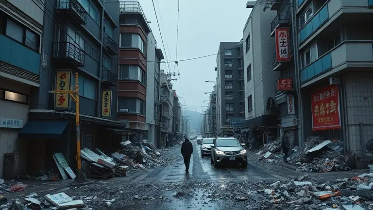
On April 20, 2026, the northeastern coast of Japan was rattled by a powerful 7.7 magnitude earthquake, triggering immediate, heart-stopping tsunami warnings across the Iwate Prefecture. While the situation has since stabilized and the most severe warnings have been lifted, the seismic event has left a lingering, palpable tension throughout the region. With authorities issuing advisory notices regarding the potential for follow-up seismic activity, many residents are left grappling with a fundamental question: how do we transition from reactive survival to proactive, long-term preparedness in the face of the unknown?
Living in the shadow of the Ring of Fire requires more than just listening to sirens; it demands a deep understanding of geological risks and a firm commitment to structural safety. As the community moves past the initial shock of this recent tremor, the focus must shift toward mitigating future dangers within our own four walls. By analyzing evacuation protocols and learning how to harden our homes against seismic shifts, we can replace uncertainty with a foundation of readiness, ensuring that when the earth moves again, we are prepared to stand firm.
Situation Report: April 20, 2026 Japan Earthquake
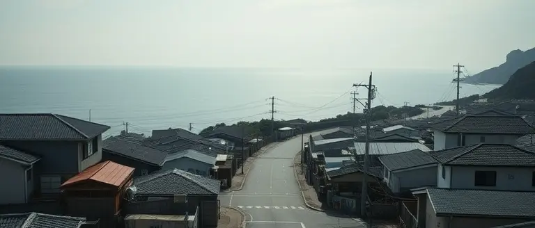
On April 20, 2026, a powerful 7.7 magnitude earthquake struck off the northeastern coast of Japan, with its epicenter located near the Iwate Prefecture. The seismic event triggered immediate, widespread concern as authorities issued an urgent japan earthquake tsunami warning for the Tohoku region. Coastal residents were instructed to seek higher ground as tide gauges recorded tsunami waves reaching up to 80 centimeters. While the initial surge caused significant alarm, official reports from the Japan Meteorological Agency (JMA) confirmed that the tsunami threat was downgraded and subsequently lifted within hours of the incident.
Current Status and Safety Updates
As of April 21, 2026, the situation has stabilized, though the region remains under cautious observation. Official government reports indicate that at least six individuals sustained injuries, primarily due to falls or falling debris. Fortunately, there have been no reports of major structural collapses, and utility infrastructure remains largely intact across the affected coastal areas. Despite the lifting of tsunami alerts, the JMA has issued a cautionary advisory regarding the potential for subsequent seismic activity, urging the public to remain vigilant.
Critical Resources and Preparedness
It is essential for those in the Tohoku region to monitor official channels for real-time safety updates. The confusion surrounding an earthquake japan event often stems from speculative social media reports; residents should rely exclusively on verified governmental data to assess ongoing risks. Key takeaways from this event include:
- Evacuation Protocols: Always follow local municipal guidelines and move to designated evacuation zones immediately if a new tsunami japan warning is issued.
- Official Monitoring: Continuously track the Japan Meteorological Agency (JMA) website for the most accurate seismic data.
- Emergency Resources: Access the Prime Minister of Japan’s disaster information portal to stay updated on current government advisories and recovery efforts.
While the immediate threat from the April 20 tremor has subsided, the scientific community continues to evaluate the region’s geological stability. Citizens are encouraged to maintain emergency kits and stay informed through official government emergency resource pages.
Understanding Seismic Risk: The ‘Megaquake’ Advisory Explained

Following the 7.7 magnitude earthquake in Japan on April 20, 2026, the Japan Meteorological Agency (JMA) issued a cautionary advisory regarding the potential for a larger seismic event. This proactive measure is part of Japan’s sophisticated earthquake early warning framework. It is essential to distinguish this advisory from a definitive prediction; it is not a forecast that a “megaquake” is imminent, but rather a statistical acknowledgment that the initial tremor has altered regional crustal stress. By issuing this alert, authorities aim to ensure that residents in the Iwate Prefecture and surrounding areas remain prepared for the possibility of significant aftershocks or subsequent tectonic shifts that could trigger a larger tsunami in Japan.
Deciphering the Advisory Protocol
The “megaquake” advisory is rooted in geological modeling that monitors the Nankai Trough and other subduction zones near the Ring of Fire. When a significant japan earthquake occurs, experts evaluate whether the rupture pattern increases the probability of a “great earthquake” (magnitude 8.0 or higher). This is a standard procedure in high-risk zones, designed to keep public safety at the forefront of policy.
To better understand why these protocols exist, consider the following factors:
- Crustal Stress Redistribution: Large tremors often shift the weight and pressure along fault lines, potentially “loading” adjacent sections of the plate boundary.
- Precautionary Preparedness: The advisory encourages households to check their emergency kits, verify evacuation routes, and review family communication plans.
- Scientific Transparency: By sharing model-based risks, the JMA empowers citizens to make informed decisions without inciting unnecessary alarm.
While the immediate tsunami warning has been lifted, the advisory serves as a vital reminder of the region’s volatile geography. Authorities continue to monitor seismic data in real-time, emphasizing that while large-scale events are statistically possible, they are not guaranteed. For the most reliable, localized guidance, residents should regularly check official updates from the Japan Meteorological Agency and local government emergency portals.
Geographic Impact: Mapping the Epicenter and Affected Zones
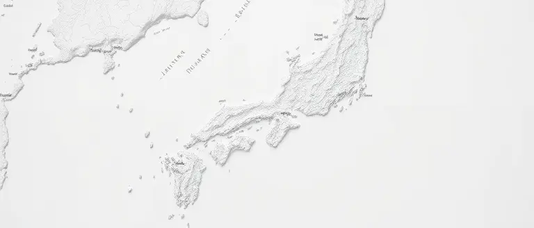
The Japan earthquake that occurred on April 20, 2026, originated off the northeastern coast, specifically targeting the seafloor near Iwate Prefecture. Geological data from the Japan Meteorological Agency (JMA) confirms the epicenter was situated in a highly active seismic zone within the Pacific Plate subduction region. While the primary shock was felt across a wide swath of the Tohoku region, the most severe shaking was concentrated along the coastal municipalities of Iwate. Understanding the spatial distribution of this event is critical for residents and researchers alike, as it helps distinguish between areas that faced immediate structural risks and those that primarily encountered a tsunami japan alert threat.
Understanding the Distribution of Seismic Intensity
The geographic footprint of the event was defined by a clear distinction between inland seismic intensity and coastal water displacement. By mapping the epicenter relative to the coastline, authorities were able to issue targeted warnings that saved lives. Key observations regarding the affected zones include:
- Epicenter Proximity: Located roughly 50 kilometers offshore, the 7.7 magnitude event occurred at a depth that significantly limited the inland surface damage compared to shallower, more destructive quakes.
- Coastal Impact Zones: Areas under the most rigorous tsunami warning included low-lying districts in Iwate and neighboring Miyagi. These regions experienced wave heights of approximately 80 cm, which, while not catastrophic, necessitated immediate evacuation to higher ground.
- Inland Shaking: Strong tremors were reported as far south as Tokyo and as far north as Hokkaido, though damage reports remained localized to the Tohoku coastline.
The confusion regarding the earthquake japan event often stems from the overlap of seismic alerts and maritime warnings. While the earthquake caused ground motion inland, the tsunami threat was confined to specific coastal topography. Residents and those monitoring the Japan earthquake today should note that official safety maps—provided by the JMA—prioritize these coastal zones for evacuation. Even with the tsunami alerts downgraded, the geographic reality of this region remains volatile, as the intersection of tectonic plates continues to create significant stress on the subduction zone. Always cross-reference your specific location with live, government-issued hazard maps to ensure you are viewing the most accurate, localized safety data.
Emergency Preparedness for Future Seismic Events
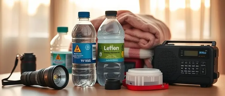
Given the unpredictable nature of the Japan earthquake events, residents and travelers must prioritize proactive safety measures. The recent 7.7 magnitude tremor off the coast of Iwate serves as a stark reminder that staying informed is the most effective defense. When an earthquake in Japan occurs, seconds matter; therefore, familiarizing yourself with local protocols is essential for personal safety. Experts recommend maintaining a “Go Bag” (emergency kit) that remains easily accessible at all times, containing at least three days of water, non-perishable food, a hand-crank radio, power banks, and essential personal documents.
Understanding Alerts and Evacuation Protocols
Navigating the complexities of a tsunami japan warning requires reliance on verified channels rather than social media speculation. Following the recent event, authorities emphasized that the most reliable information comes directly from the Japan Meteorological Agency (JMA). To ensure you receive real-time alerts, download apps like “Safety Tips,” which is supervised by the Japan Tourism Agency and provides push notifications for earthquake and tsunami alerts in multiple languages.
- Emergency Alerts: Ensure your mobile device has “Emergency Earthquake Alerts” enabled in settings. These notifications provide critical seconds of warning before primary seismic waves arrive.
- Evacuation Signals: Learn the specific siren tones and loudspeaker announcements used in your local municipality. If you are near the coast and feel strong shaking, do not wait for a formal tsunami warning; move to higher ground immediately.
- Official Sources: Monitor the JMA website or official NHK news broadcasts. These platforms provide the most accurate data regarding the japan earthquake today and the status of any ongoing tsunami advisory.
Living in the “Ring of Fire” necessitates a culture of preparedness. By keeping your emergency kit updated and identifying the nearest designated evacuation centers—which are clearly marked in most Japanese cities—you can significantly mitigate the risks associated with future seismic activity. Remember, remaining calm and following guidance from local emergency officials is your best strategy during and after a disaster.
Building Resilience: Taking Control of Your Home Safety
The events of April 20, 2026, serve as a stark reminder that while we cannot prevent the tectonic shifts beneath us, we have absolute agency over how we prepare our immediate surroundings. Relying on government alerts is only the first step; true resilience is built through proactive, structural hardening of your living space.
While experts emphasize that anxiety is a natural response to seismic instability, the most effective way to combat that feeling is by transforming your home into a fortress of security. By reinforcing furniture, securing heavy shelves, and creating custom, earthquake-resistant storage, you are doing more than just DIY projects—you are investing in the long-term safety of your family. This is where moving from a state of passive worry to active home improvement becomes your greatest asset.
To assist in these critical reinforcements, Ted’s Woodworking offers professional-grade plans that turn complex home hardening tasks into achievable, high-quality projects. Whether you are building custom earthquake-resistant anchors or fortifying your living space with sturdy, weight-bearing structures, these plans provide the technical blueprint for peace of mind. By taking action today, you ensure your home is ready for whatever the future holds.
 Download these workshop-tested plans to begin reinforcing your home today and gain peace of mind for your family’s safety.Start Reinforcing My Home Now!